How R980 IBSS Users Are Crushing Projects Others Can't Even Touch
Discover how the Trimble R980 with IBSS technology is breaking through traditional radio limitations, allowing surveyors to tackle projects of any...
2 min read
 AllTerra Central, Inc.
Updated on July 1, 2025
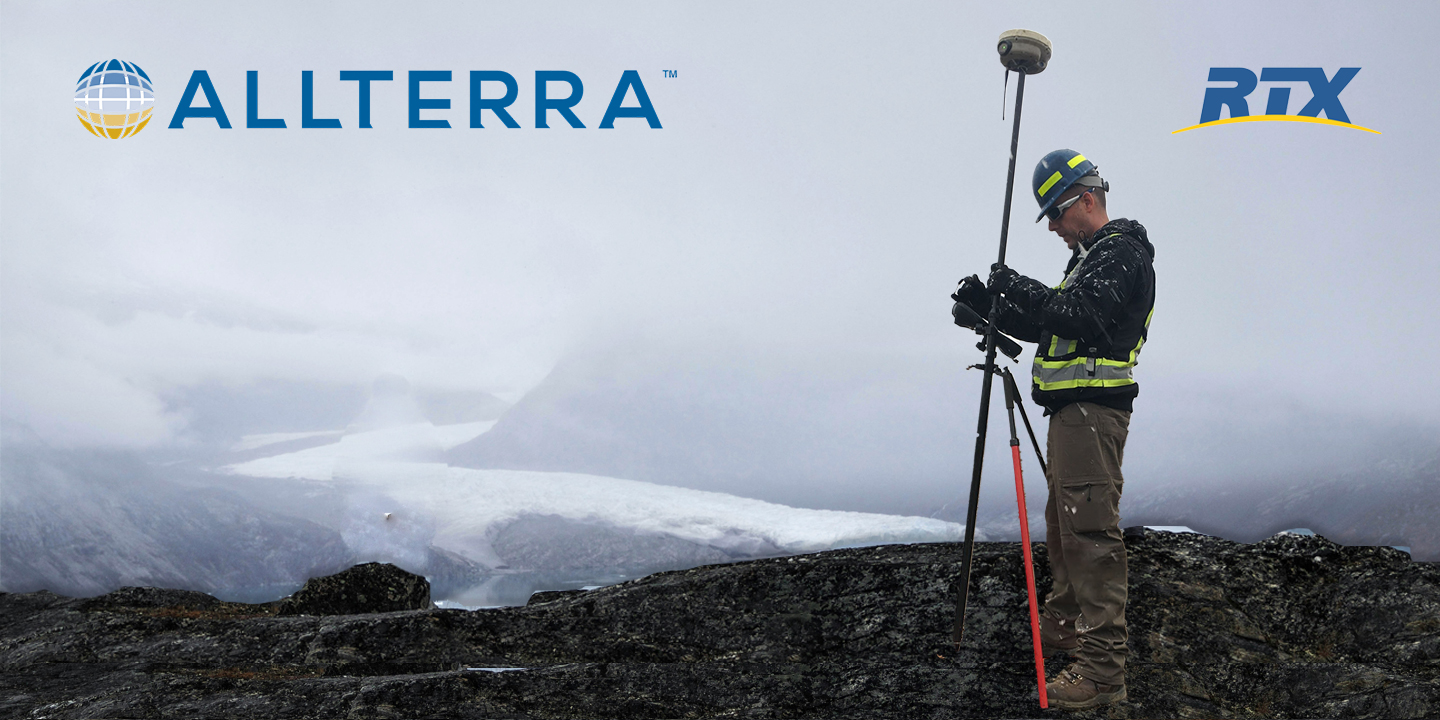
Every surveyor knows that sinking feeling—you're deep into a critical survey when your RTK connection drops. In these moments, RTX isn't just convenient—it's the difference between project success and expensive failure.
The base radio fails.
The cellular network disappears.
VRS goes offline.
Having CenterPoint RTX™ is the ultimate positioning insurance.

The Setup: You're staking out a new subdivision development. The plans show you're well within cellular coverage. But arriving on-site, you discover the nearest tower is down for maintenance.
Field Tip: Always verify RTX is enabled before leaving the office—it's your insurance policy against connectivity surprises.

The Setup: Your pipeline survey crosses three counties, multiple control points and two different state plane zones. Traditional radio-based RTK means constant reconfiguration and multiple base station moves.
Real Impact: "RTX saved us 40 hours of base station moves on our 75-mile pipeline survey. That's significant savings in labor costs alone." — Pipeline Survey Manager, Oklahoma

The Setup: Post-storm damage assessment. Cellular towers are down. Radio repeaters are offline. The client needs immediate survey data for insurance claims.
Business Impact: Firms with RTX capability often become the go-to provider for emergency response surveys.

The Setup: You're surveying a 5,000-acre ranch property. No cellular coverage. Setting control points across rough terrain. Every base station move is a 45-minute ordeal.
How RTX Delivers When Others Can't:
RTX leverages a global network of reference stations and redundant satellite delivery systems with advanced atmospheric modeling. Orbit and clock corrections integrate seamlessly with your existing RTK workflow.
Coverage & Performance:
Convergence times from 1-15 minutes with 99.9% service availability.
Try RTX for Free
Use the form below to request your trial, jobsite demonstration, or more information.
Ready to protect your projects with RTX positioning insurance?
RTX comes built-in with new Trimble receivers at no additional cost for 12 months—giving you immediate access to centimeter-level accuracy anywhere your projects take you.
Activate RTX on Your Receiver Today →
Experience the AllTerra Central difference—where your success is our priority, backed by the industry's most comprehensive support network across Texas, New Mexico, Arizona, and Oklahoma.
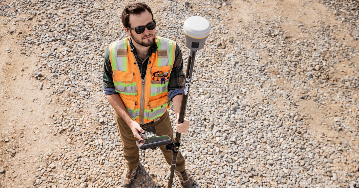
Discover how the Trimble R980 with IBSS technology is breaking through traditional radio limitations, allowing surveyors to tackle projects of any...
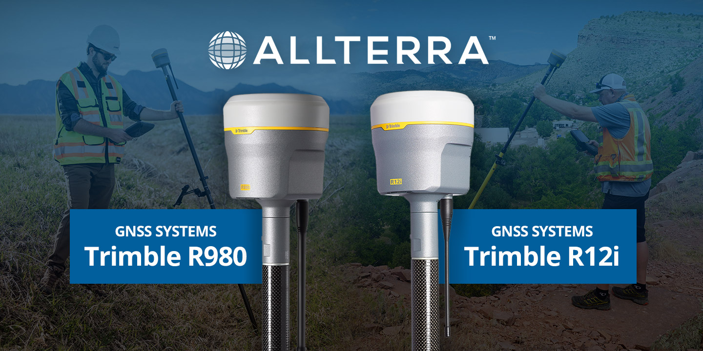
Trimble GNSS receivers have long been the go-to for professionals who demand accuracy, speed, and reliability in the field. The Trimble R12i raised...
Which Mapping and GIS (MGIS) Platform is right for you?

In ideal conditions, most GNSS systems perform just fine. But in the field, conditions are rarely ideal.
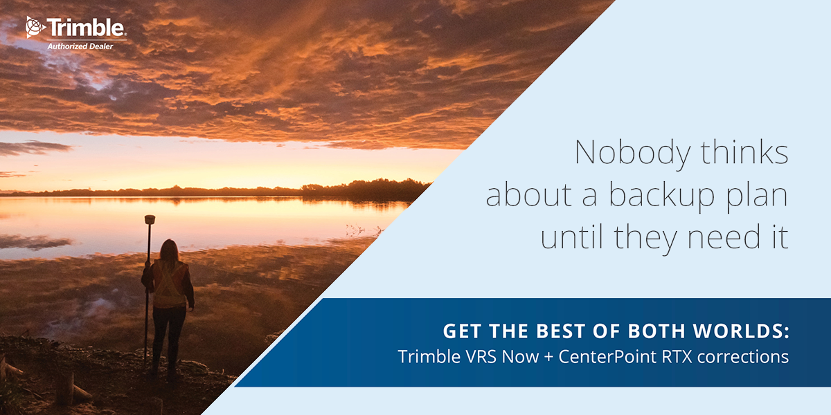
Never Let Dead Zones Stop Your Progress Picture this: You’re three hours into a boundary survey on a 500-acre ranch property. Cell towers are nowhere...

See the Power of Digital Mapping - Right Where You Work
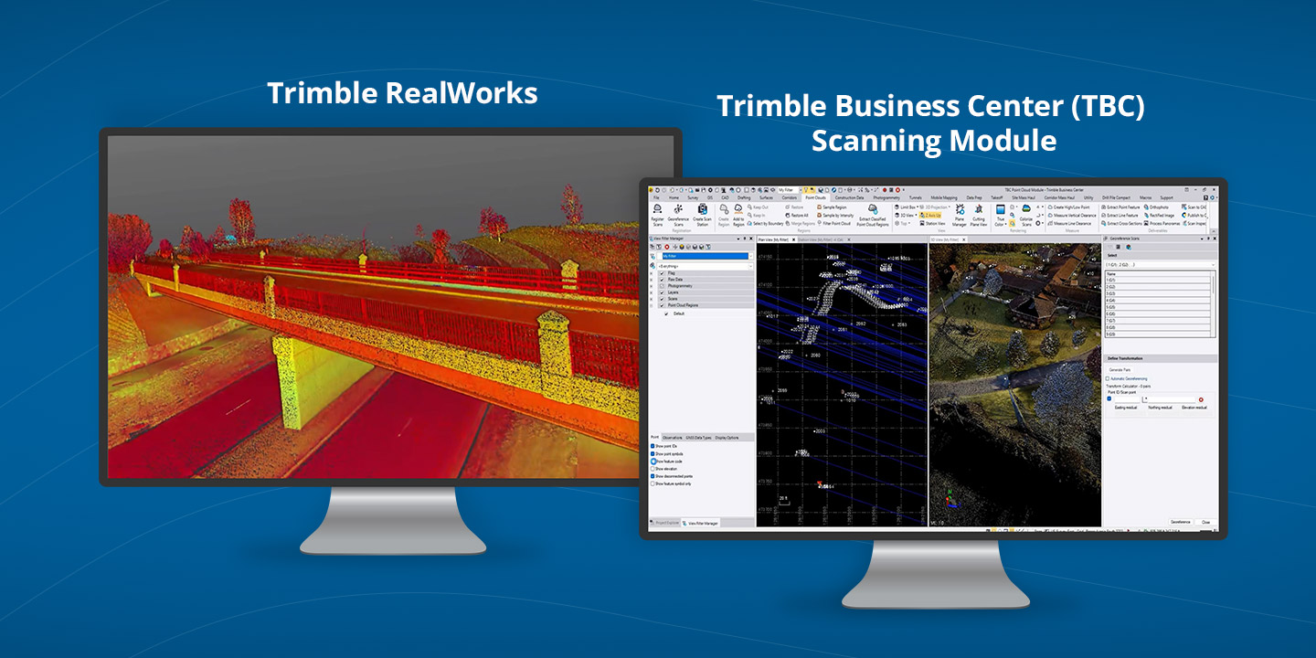
3D scanning has rapidly evolved from a specialized technique into an essential part of modern surveying and engineering. Whether you’re capturing...
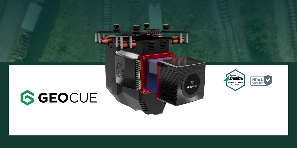
Surveying in rugged terrain is never easy. Whether it’s steep banks, dense vegetation, active mines, or remote corridors, traditional surveying...