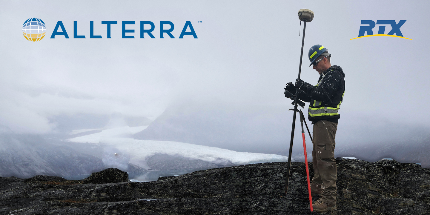
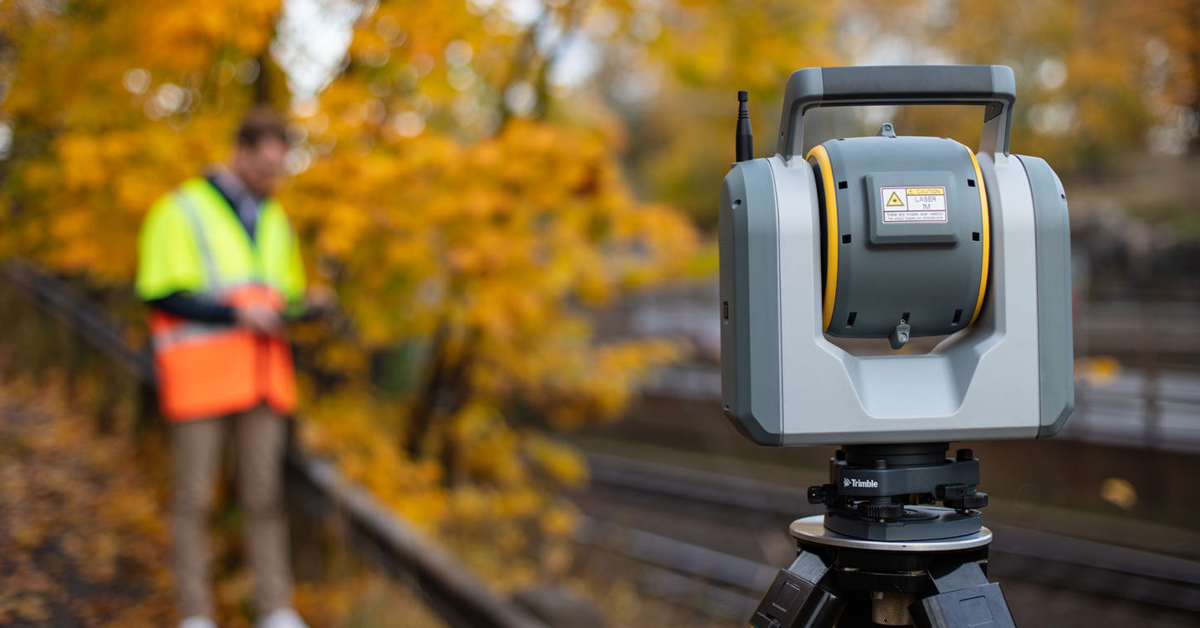
 AllTerra Central, Inc.
1 min read
4 Critical Moments Where RTX Will Save Your Day
Every surveyor knows that sinking feeling—you're deep into a critical survey when your RTK connection drops. In these moments, RTX isn't just...

In ideal conditions, most GNSS systems perform just fine. But in the field, conditions are rarely ideal.
Dense tree canopies, rugged terrain, deep canyons, and limited connectivity can make even the most well-planned survey grind to a halt. For teams working in these environments, losing signal isn’t just frustrating — it can derail entire workflows, blow timelines, and force costly returns to the job site.
That’s where Trimble CenterPoint® RTX comes in.
Unlike traditional RTK or VRS solutions that rely on base stations and cellular connectivity, RTX delivers high-accuracy GNSS corrections via satellite or internet — allowing you to work untethered, uninterrupted, and uncompromised.
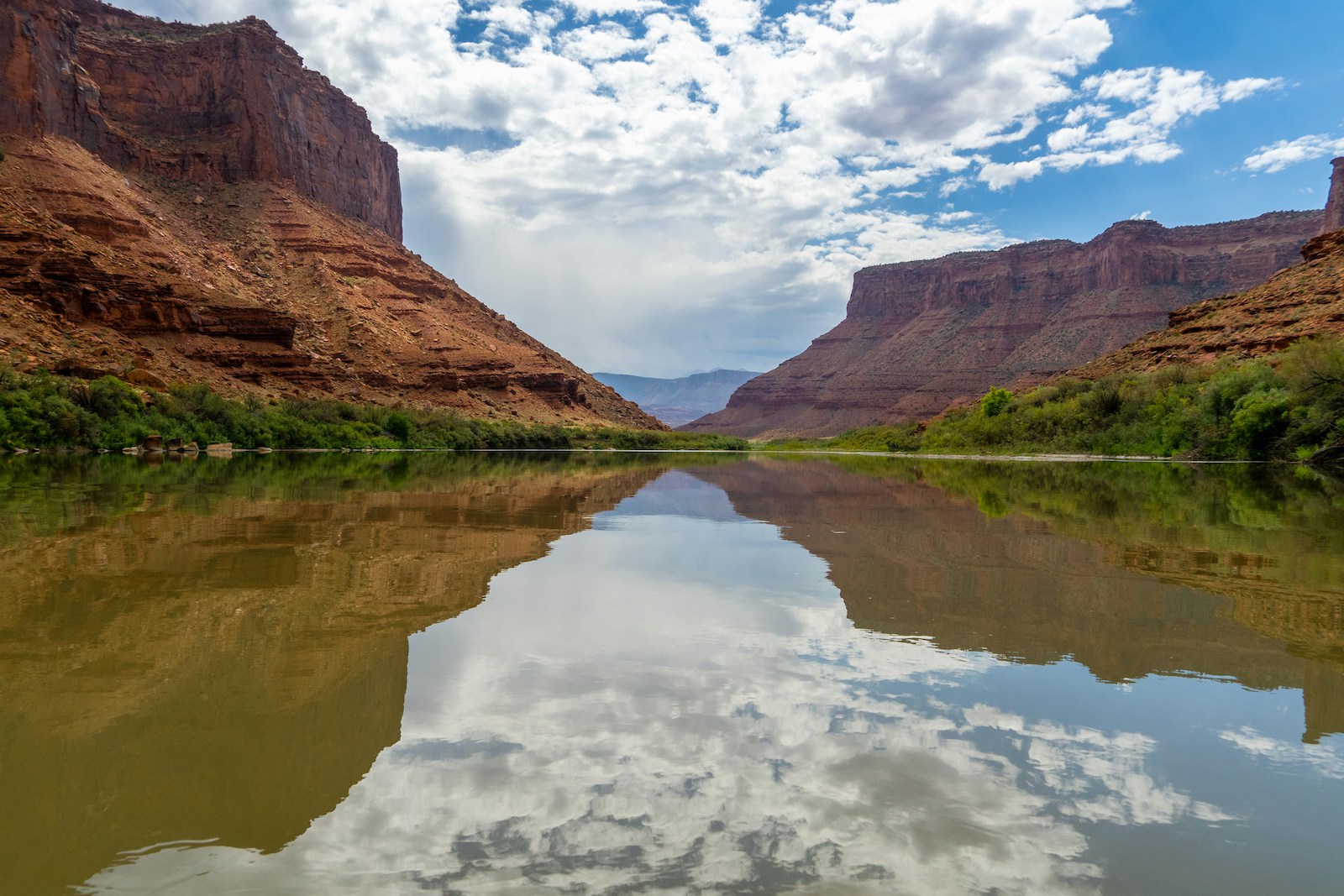
In this post, we’ll explore how CenterPoint RTX performs in some of the most challenging survey conditions, including a 342-mile mapping project on the Colorado River. You’ll see why forward-thinking surveyors are turning to RTX not just as an alternative, but as a foundational part of their GNSS strategy.
Have questions before or after reading? We're always here to help. Get in touch to talk to an expert.
GNSS accuracy depends on more than just good equipment — it requires stable infrastructure, clear skies, and consistent signal paths. In many real-world environments, that’s a tall order.
There are many environments where RTK- and VRS-based positioning systems struggle. Here's a look at four specific areas where surveyors often lose valuable time to dropped signals, failed connections, or complex setups:
Skyscrapers and dense buildings reflect GNSS signals, causing multipath errors. RTK base stations may be difficult to place, and cellular connectivity is often inconsistent at street level.
Heavy canopy blocks satellite signals and creates signal attenuation. Establishing line-of-sight to a base station becomes a logistical headache — and often an impossibility.
Surveying in rugged terrain or isolated areas introduces long distances between crews and base stations. RTK signal strength weakens rapidly, and repositioning the base slows productivity to a crawl.
In environments with little to no infrastructure, base stations and repeaters can’t cover the full survey area. VRS systems may lack coverage altogether. Your options shrink fast.
In these situations, the problem isn’t the gear — it’s the dependence on infrastructure. That’s why more survey teams are rethinking their GNSS strategies with CenterPoint RTX at the core.
In the world of GNSS, most positioning solutions fall into two camps: those that rely on local infrastructure (like RTK and VRS), and those that don’t. Trimble CenterPoint® RTX stands out by delivering high-accuracy corrections directly via satellite or internet, without the need for base stations, radios, or cellular connectivity.
That means survey teams get:
Unlike traditional methods that require constant line-of-sight to a base or depend on stable cellular signals, RTX is built for movement, mobility, and difficult environments — including deserts, forests, canyons, and remote regions.
At its core, RTX is about resilience:
Even if the job takes you far beyond the reach of traditional systems, RTX ensures you don’t have to compromise on precision.
When RiverRestoration, a Colorado-based river engineering firm, was awarded a contract to map 342 miles of the Lower Colorado River — one of the most environmentally and economically important waterways in the U.S. — they knew traditional GNSS methods wouldn’t cut it.
Dense canyons, remote terrain, and an unforgiving river corridor made RTK base stations impractical. Instead, the team turned to Trimble CenterPoint RTX for both real-time corrections and post-processed accuracy.
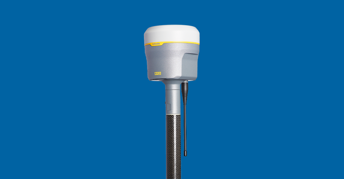
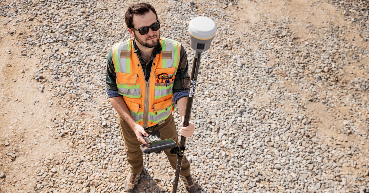
Equipping boats, land crews, and aerial survey teams with Trimble R10 and R12 receivers and RTX-compatible equipment, the team:
From Hoover Dam to the Mexico border, Trimble RTX enabled survey resilience across land, air, and water — even in regions where other GNSS solutions would fail.
Want the full technical details? Check out the full case study.
Discover the difference Trimble's RTX made on a project that took place in an incredibly harsh environment.
Even the most reliable RTK or VRS setup isn’t immune to interruptions. A dropped cellular connection. A sudden loss of line-of-sight. A radio that cuts out just when you’re trying to close out a critical shot.
That’s where Trimble CenterPoint® RTX proves its value — not just as a primary correction source, but as a fail-safe fallback that keeps your crews moving when other systems fail.
When integrated into your GNSS workflow, RTX can serve as:
Using Trimble Access or compatible field software, switching from RTK to RTX can happen seamlessly — often without interrupting data collection. That means no lost shots, no wasted time, and no need to reposition base stations or troubleshoot connections in the field.
Think of it as positioning insurance: You may not need it every day, but when you do, it pays for itself in a single afternoon.
Trimble CenterPoint® RTX is designed to thrive where traditional GNSS struggles — but like any high-performance tool, it performs best when you know how to use it well.
Here are a few best practices to help you maximize RTX performance in remote, rugged, or signal-challenged environments:
RTX requires an initialization period to achieve full accuracy — typically around 15 minutes for most receivers. Start your day by powering up your receiver early and allowing it to converge before you begin data collection.
To speed up initialization and ensure signal stability, begin your session in an open area with minimal obstruction. Avoid starting under dense canopy or between tall buildings if possible.
RTX can work as a standalone solution or alongside RTK/VRS. If you’re already using RTK, configure your system to fall back to RTX automatically when signal loss occurs — no manual switching required.
In challenging terrain, build confidence in your results by checking RTX-derived positions against known control points. Field teams in projects like the Colorado River survey used this method for QA and redundancy.
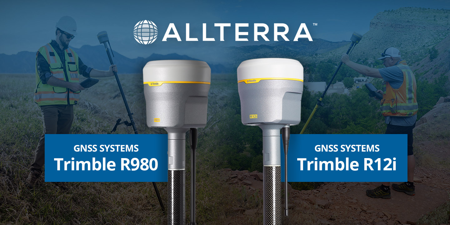
Make sure you're running RTX-compatible hardware like the Trimble R12i or R10, and keep firmware and field software (like Trimble Access) up to date to take advantage of the latest enhancements.
“With RTX, once we converged to an accurate position, we maintained accuracy throughout the entire day.”
— Jason Carey, Principal River Engineer, RiverRestoration
Here's a look at the Trimble receivers that offer RTX compatibility: the R12i, the R980, the R780, and the R580.
In survey environments where traditional GNSS positioning often falters — remote regions, rugged terrain, and dense canopy — Trimble CenterPoint® RTX delivers where others can’t.
With global coverage, centimeter-level accuracy, and the ability to function independently of base stations or cellular connectivity, RTX is more than just an alternative to RTK. It’s a way to build resilience into your workflow, ensuring that even when conditions are unpredictable, your positioning isn’t.
From real-time data collection in extreme conditions to seamless fallback when other systems fail, RTX gives your team the confidence to keep moving — no matter where the job takes you.
If your crews are losing time to repositioning base stations, battling poor signal quality, or hesitating to deploy in hard-to-reach areas, it may be time to rethink your approach to GNSS.
Need help getting started with RTX? Get in touch with us.
1 min read
Every surveyor knows that sinking feeling—you're deep into a critical survey when your RTK connection drops. In these moments, RTX isn't just...
1 min read
Never Let Dead Zones Stop Your Progress Picture this: You’re three hours into a boundary survey on a 500-acre ranch property. Cell towers are nowhere...
1 min read
Trimble GNSS receivers have long been the go-to for professionals who demand accuracy, speed, and reliability in the field. The Trimble R12i raised...
1 min read
Discover how the Trimble R980 with IBSS technology is breaking through traditional radio limitations, allowing surveyors to tackle projects of any...

1 min read
Which Mapping and GIS (MGIS) Platform is right for you?
1 min read
After years managing AllTerra Central's service department, I've seen just about everything that can go wrong with field equipment — and when it...
1 min read
In the geospatial industry, time is quite literally money. Every minute your crew spends battling data silos, transferring files manually, or...
1 min read
The traditional mindset of "ownership = success" is being challenged by forward-thinking survey firms discovering the strategic advantages of 3D...

1 min read