 AllTerra Central, Inc.
1 min read
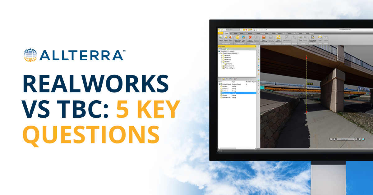
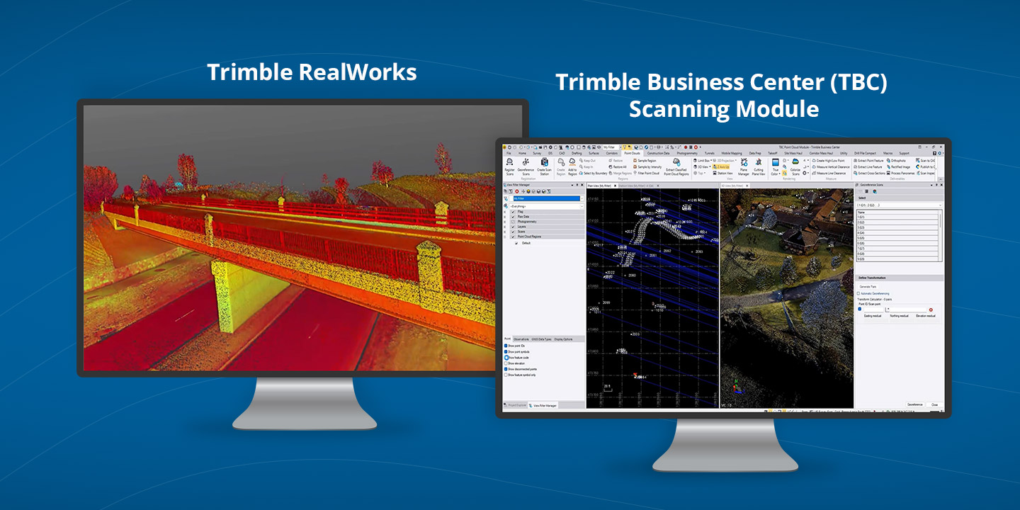
Top 5 Questions to Ask When Choosing Between Realworks vs TBC
How to Decide (And Why Many Firms Use Both) Choosing the right platform doesn’t have to be an all-or-nothing decision. Start by thinking through a...
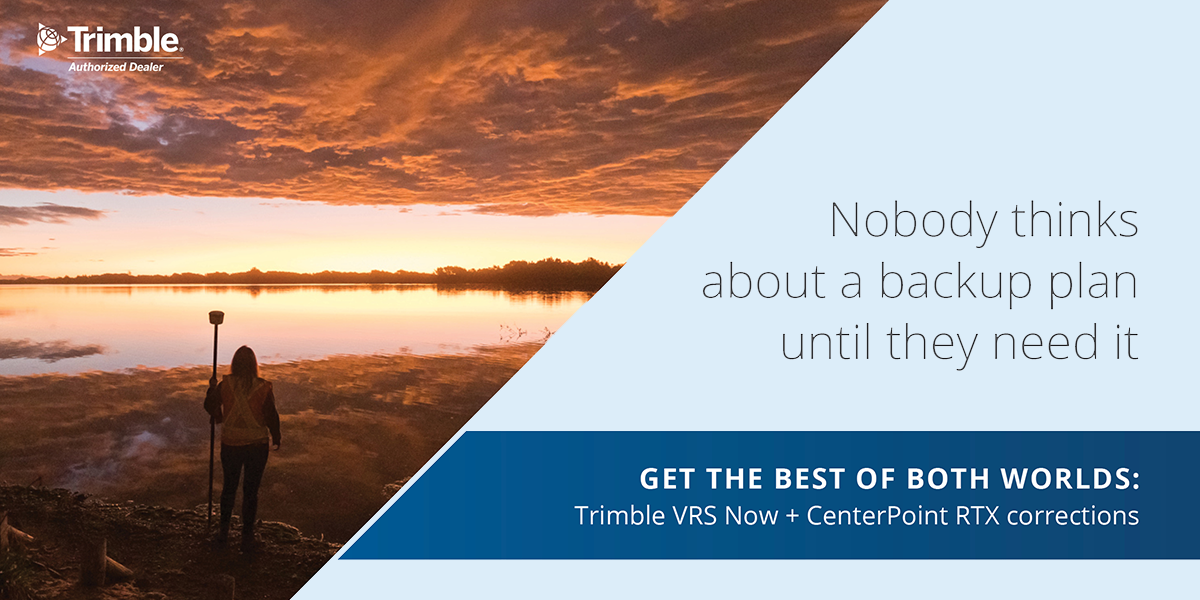
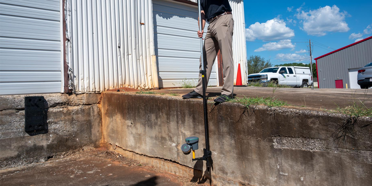
Picture this: You’re three hours into a boundary survey on a 500-acre ranch property. Cell towers are nowhere in sight. Your VRS connection drops. In the past, this meant packing up, driving back, or setting up a base station — turning a profitable day into a loss...
Trimble's CenterPoint® RTX is your positioning insurance, a term coined by Trimble that perfectly captures what this technology means for your business. Just like insurance protects your equipment investment, RTX protects your productivity when terrestrial correction sources fail.
Keep reading to learn more about RTX as your positioning insurance. Have questions about RTX? Get in touch with us.
Positioning insurance is a fundamental shift in how you approach field operations. CenterPoint RTX delivers corrections via geostationary satellites, completely independent of cellular networks or radio signals. This means you maintain better than 2 cm horizontal accuracy and 5 cm vertical accuracy regardless of your location or local infrastructure.
Think of it as your correction service safety net that’s always there when:
With convergence times under 1 minute in most of the USA and globally available coverage...RTX transforms from a backup solution to a viable primary correction method that moves as fast as you do.
RTX corrections are generated from Trimble’s worldwide network of ground-based GNSS tracking stations, using absolute positioning techniques to model and correct error sources in real-time. The data undergoes integrity monitoring both pre- and post-broadcast, with AES encryption preventing spoofing attempts.
Available delivery methods include:
This dual-delivery approach means you’re never dependent on a single point of failure. The satellites are always there, even when nothing else is.
For surveyors covering large geographic areas or working in remote locations, RTX completely eliminates base station logistics. Deploy all receivers as rovers, maintain consistent datum across projects, and remove the complexity of managing multiple VRS subscriptions.
Continue using your preferred RTK or VRS workflow, knowing RTX provides unlimited backup through xFill Premium. When outages occur, there’s no scramble for alternatives. You continue with survey-grade accuracy.
While competitors struggle with correction availability, you’re delivering on schedule. RTX becomes your differentiator; the reason clients choose you for challenging projects where others can’t deliver.

Positioning insurance through CenterPoint RTX transforms uncertainty into confidence. It’s knowing that dead zones, network outages, and equipment failures can’t stop your progress. And it’s the freedom to take on projects anywhere, anytime, without compromise.
Every new Trimble GNSS receiver purchased through AllTerra Central now includes a 12-month RTX subscription at NO additional cost. That’s a 1 full year to experience the peace of mind that comes with true positioning insurance.
Ready to eliminate correction uncertainty from your workflow?
EXPLORE RTX SOLUTIONS →
REQUEST A FIELD DEMONSTRATION →
At AllTerra Central, we understand that your success depends on staying productive in the field. RTX positioning insurance ensures that success isn't limited by coverage maps or cellular signals. It's precision without boundaries—exactly what your business needs to thrive.
1 min read
How to Decide (And Why Many Firms Use Both) Choosing the right platform doesn’t have to be an all-or-nothing decision. Start by thinking through a...
1 min read
3D scanning has rapidly evolved from a specialized technique into an essential part of modern surveying and engineering. Whether you’re capturing...
1 min read
In the geospatial industry, time is quite literally money. Every minute your crew spends battling data silos, transferring files manually, or...

1 min read
In ideal conditions, most GNSS systems perform just fine. But in the field, conditions are rarely ideal.
1 min read
Every surveyor knows that sinking feeling—you're deep into a critical survey when your RTK connection drops. In these moments, RTX isn't just...
1 min read
1 min read
After hosting a packed webinar on Trimble Connect, one thing became clear: surveying professionals are ready to move faster, work smarter, and...
1 min read
You’re out on a job site in August. The sun’s already burning through your shirt at 9 a.m., and you’re driving stakes into lime-treated soil so hard...
1 min read
Imagine completing in minutes what once took hours, capturing spaces you never could before, and doing it all with a device that fits in your hand.