 AllTerra Central, Inc.
1 min read
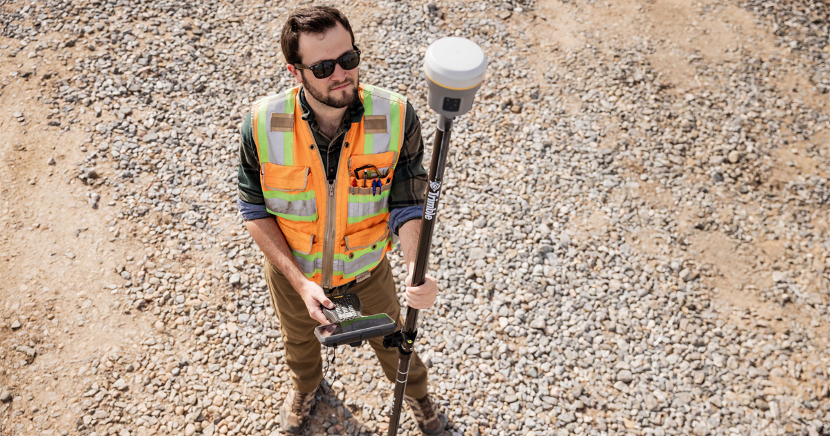
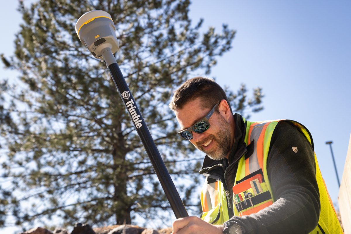
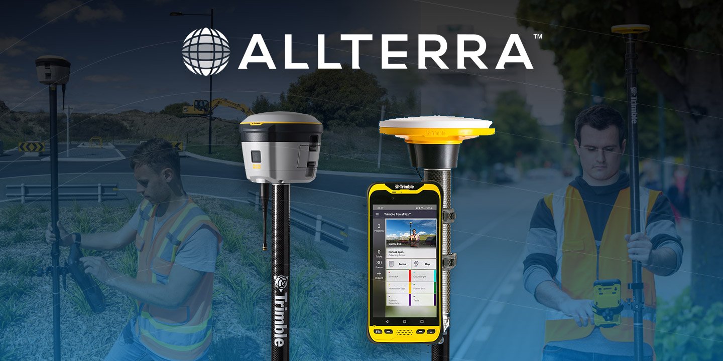
New Era, New Tech: Trimble R980 Builds on the R12i’s Legacy
Trimble GNSS receivers have long been the go-to for professionals who demand accuracy, speed, and reliability in the field. The Trimble R12i raised...
Discover how the Trimble R980 with IBSS technology is breaking through traditional radio limitations, allowing surveyors to tackle projects of any size with uncompromised precision and no regulatory headaches. Forward-thinking firms are leveraging this revolutionary connectivity to win larger projects, eliminate costly base relocations, and maintain centimeter accuracy even in the most challenging environments.
Ask yourself: How many projects did you avoid bidding last year because of range limitations? How many hours did your crews waste relocating base stations? How many times did signal interference compromise data quality and force rework?
The surveying industry faces a critical challenge that limits productivity, profitability, and project capabilities. Traditional radio-based RTK creates what we call the "Invisible Fence Problem" - you're effectively tethered to a 5-mile radius from your base station, forced to work within artificial boundaries while competitors with advanced technology are winning bigger projects and higher margins.
This limitation costs surveying companies in three devastating ways:
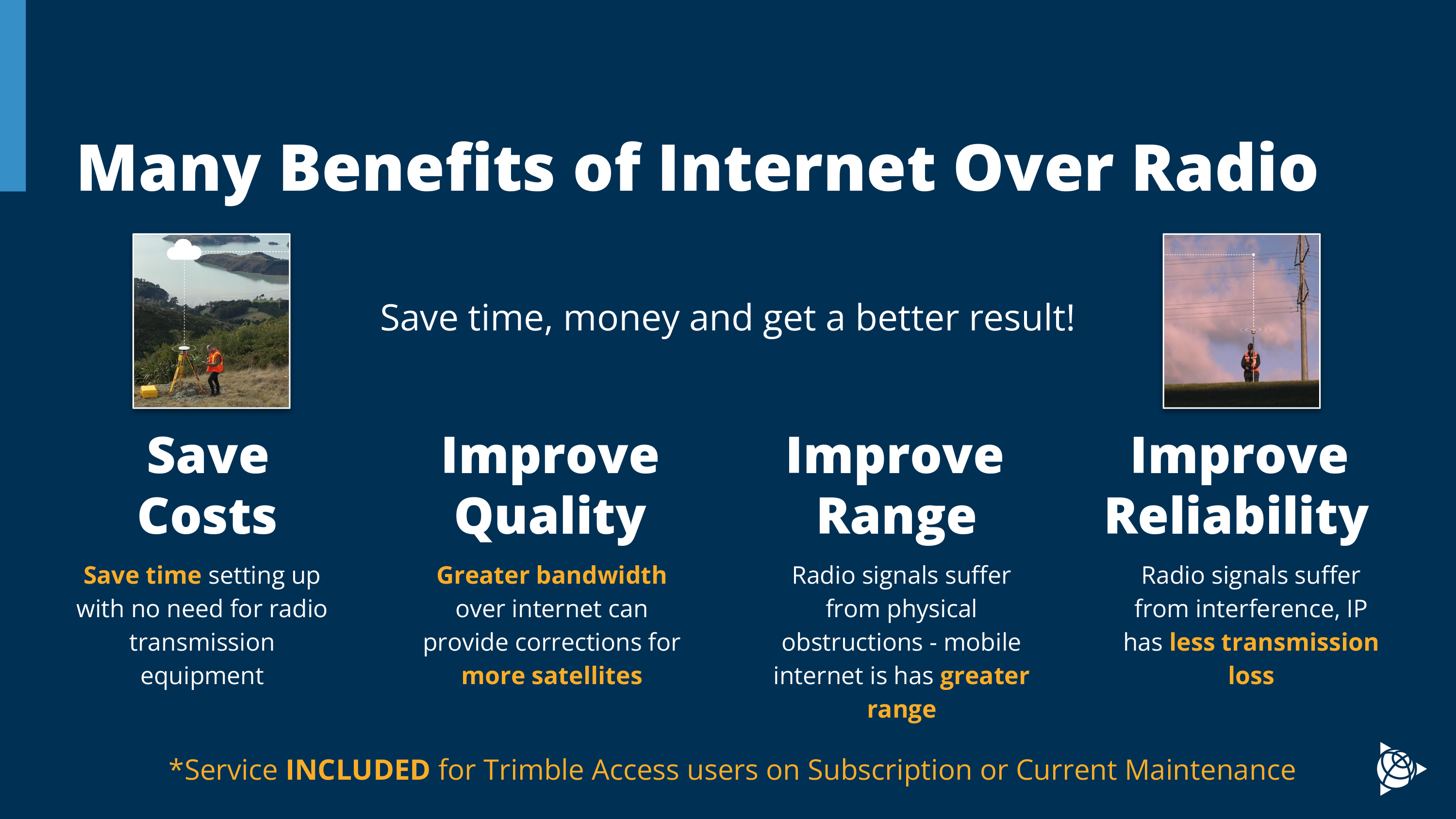
The Trimble R980 with Internet Base Station Service (IBSS) eliminates these constraints entirely, creating improved operational range and transformational field capabilities.
IBSS represents a fundamental paradigm shift in surveying technology - replacing radio transmission limitations with internet-based correction delivery that works wherever cellular connectivity exists.
The results are immediate and transformative:
Reduction in setup and breakdown time on large projects
Elimination of base station relocations, saving much time!
Ability to bid on and win projects, outside previous capacity
Premium pricing power from capability differentiation
Single base station coverage for entire project up to 30+ miles
Consistent centimeter-level accuracy across touch environments
Connectivity across boundaries without licensing concerns
Deploy multiple rovers from a single base with perfect sync
Capability to accept projects competitors can't effectively execute
Reduction in overall equipment and personnel requirements
Enhanced reputation for handling complex, demanding projects
Future-proof investment as industry continues tech evolution
+ Bonus:
1 min read
Trimble GNSS receivers have long been the go-to for professionals who demand accuracy, speed, and reliability in the field. The Trimble R12i raised...
1 min read
Every surveyor knows that sinking feeling—you're deep into a critical survey when your RTK connection drops. In these moments, RTX isn't just...

1 min read
In ideal conditions, most GNSS systems perform just fine. But in the field, conditions are rarely ideal.

1 min read
Which Mapping and GIS (MGIS) Platform is right for you?
1 min read
1 min read
Surveying in rugged terrain is never easy. Whether it’s steep banks, dense vegetation, active mines, or remote corridors, traditional surveying...
1 min read
Tired of sacrificing accuracy for usability in GIS mapping? AllTerra Central and Trimble deliver professional-grade precision without the complexity...

1 min read
1 min read
Imagine completing in minutes what once took hours, capturing spaces you never could before, and doing it all with a device that fits in your hand.