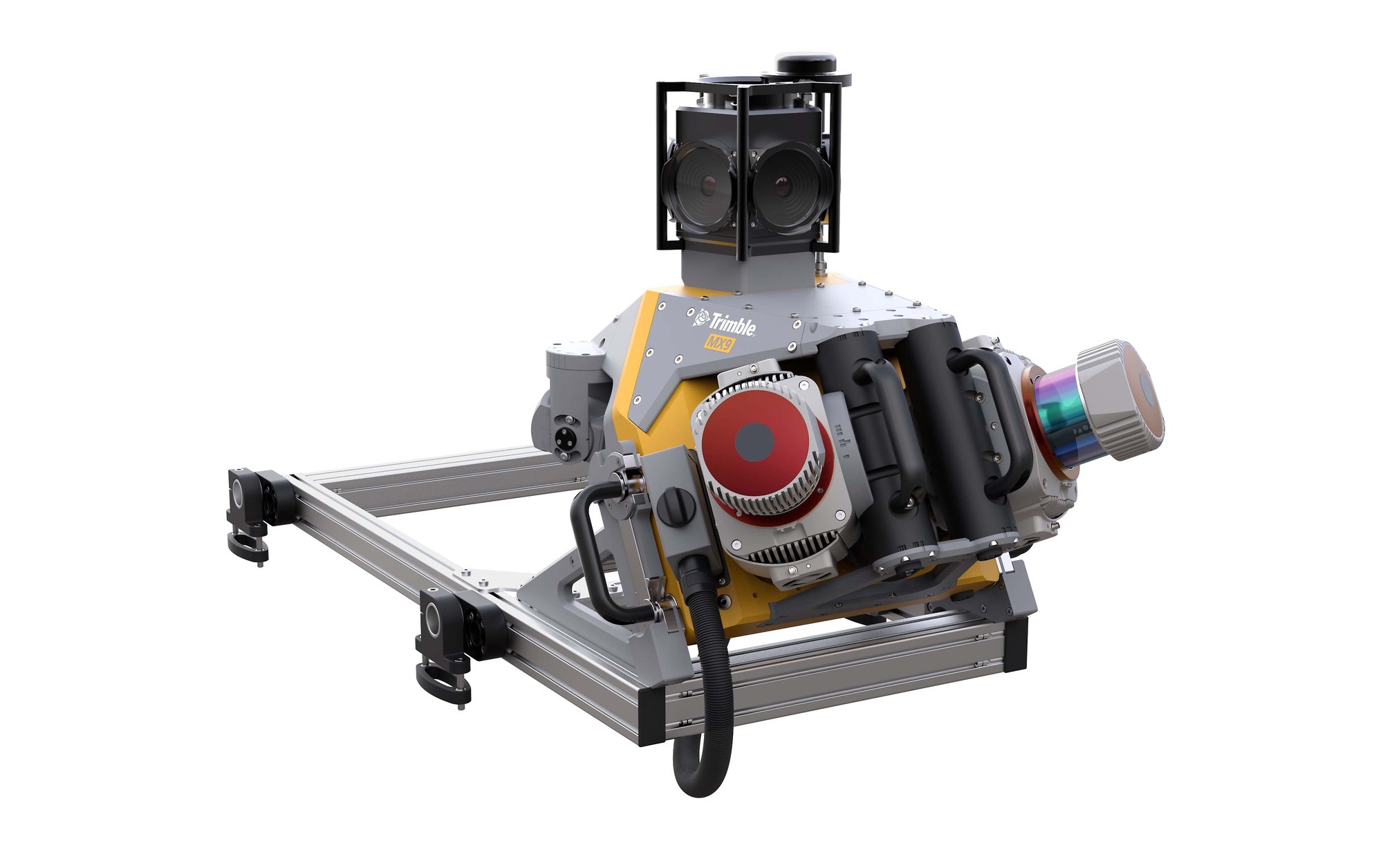
MX90: Up to 3,600,000 points/second
360° Full Circle Coverage
Accuracy: 5mm/3mm precision
Speed: Data capture at up to 110 km/h (68 mph)
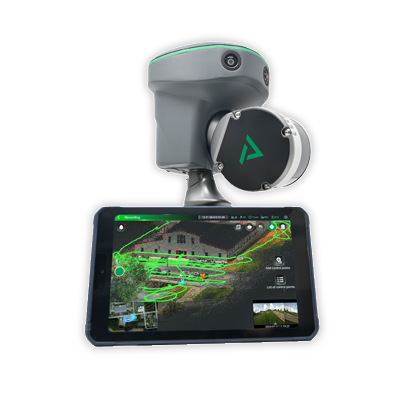
16/32-channel LiDAR System - Optimized for standard mapping tasks
5cm Accuracy - Professional-grade precision
"Ready, Set, GO!" Operation - Minimal training required
No GNSS Required - Works seamlessly indoors and in urban canyons
Register Now
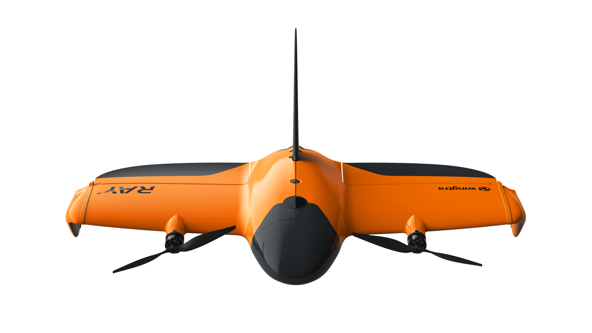
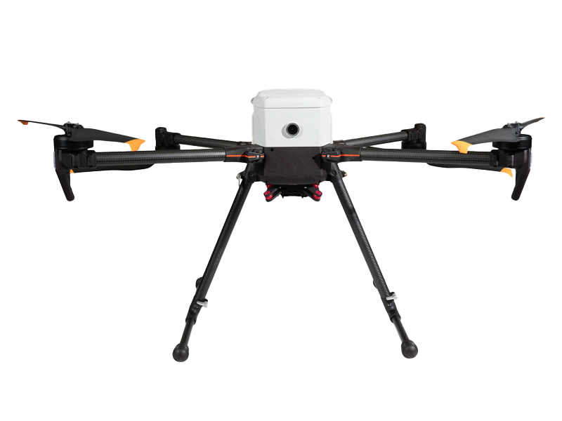
See the latest VTOL Surveying UAV to hit the market, in action!
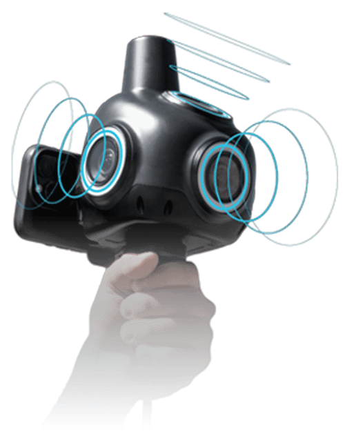
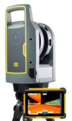
See why SLAM technologies are not only powerful, but also convenient.
Vehicle-mounted LiDAR that captures data at highway speeds.