 Miguel Manning, MGIS Sales & Product Expert
1 min read
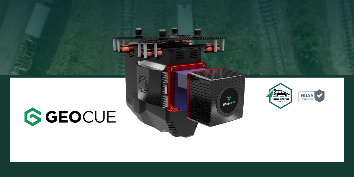
Beyond Features: Choosing the Best Mapping and GIS Hardware
Which Mapping and GIS (MGIS) Platform is right for you?
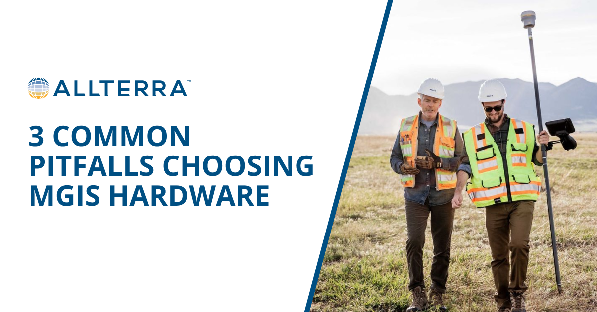
Even experienced teams can get tripped up when evaluating MGIS solutions. Before making a commitment, here's my guide on the three common mistakes that can undermine your investment and hinder your GIS mapping efficiency.
Not all GNSS systems are created equal. Just because two platforms claim similar specs doesn’t mean they deliver the same results in the field. Low-cost solutions often cut corners on correction services, reliability, and long-term support—leading to costly errors and downtime. Don’t fall for surface-level comparisons; dig deeper to find the performance that truly supports your mission.
Support is often overlooked, but it's crucial. While some systems may carry a lower upfront cost, having access to in-house technical support—like the kind offered through AllTerra—can significantly reduce downtime in the field. That means fewer delays, less frustration, and ultimately, cost savings.
Choosing a platform that solves only today’s problems can truly create bigger issues tomorrow. You must look at it as an investment in your organization’s future. As your projects grow in complexity and scope, your technology needs to keep pace without forcing you into costly upgrades or re-platforming. Scalability ensures your equipment remains an asset (rather than an obstacle), no matter how fast you expand, or the project requirements change.

Click here to tell us about your experience and see if we can help!
When you focus on the three critical considerations above, you set your team up for long-term success. The right platform becomes both a tool and a strategic advantage that drives productivity, innovation, and growth.
At AllTerra, we bring platform-agnostic expertise you can trust. Our team has experience across all major MGIS solutions and offers unbiased recommendations to help you make the best choice for your unique needs. From integration planning to implementation, training, and ongoing support, we’re here to be your long-term partner at every stage.
Ready to find the Mapping & GIS Hardware that will empower your team?

1 min read
Which Mapping and GIS (MGIS) Platform is right for you?
1 min read
Every surveyor knows that sinking feeling—you're deep into a critical survey when your RTK connection drops. In these moments, RTX isn't just...
1 min read
Tired of sacrificing accuracy for usability in GIS mapping? AllTerra Central and Trimble deliver professional-grade precision without the complexity...
1 min read
Imagine completing in minutes what once took hours, capturing spaces you never could before, and doing it all with a device that fits in your hand.
1 min read
See the Power of Digital Mapping - Right Where You Work
1 min read
Surveying in rugged terrain is never easy. Whether it’s steep banks, dense vegetation, active mines, or remote corridors, traditional surveying...
1 min read
Downtime isn’t an option. That’s where AllTerra Central’s service department comes in. With thousands of repairs handled each year and decades of...

1 min read
Introduction In my 15+ years managing AllTerra Central's service department, I've seen thousands of precision instruments come through our doors for...
1 min read
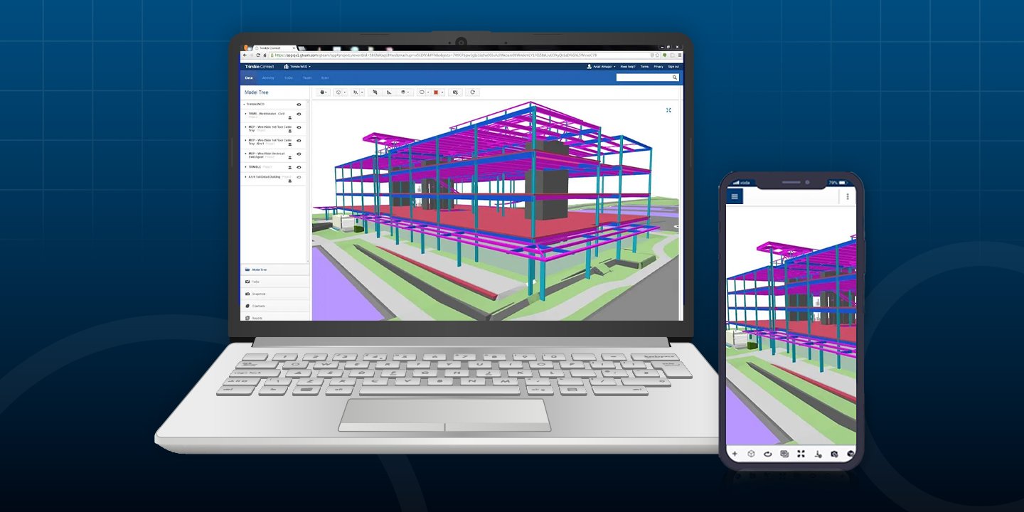
After hosting a packed webinar on Trimble Connect, one thing became clear: surveying professionals are ready to move faster, work smarter, and...