 AllTerra Central, Inc.
1 min read
How TruViewGO Handheld Scanners Are Transforming Reality Capture in 2025
Imagine completing in minutes what once took hours, capturing spaces you never could before, and doing it all with a device that fits in your hand.
Surveying in rugged terrain is never easy. Whether it’s steep banks, dense vegetation, active mines, or remote corridors, traditional surveying methods often fall short—putting crews at risk, delaying timelines, and inflating costs. That’s why AllTerra Central is taking a deeper look into how professionals across the country are turning to drone-based LiDAR solutions from GeoCue to overcome these challenges. Drawing from real-world case studies, the value of aerial LiDAR is clear: it’s faster, safer, and more precise than ever before.
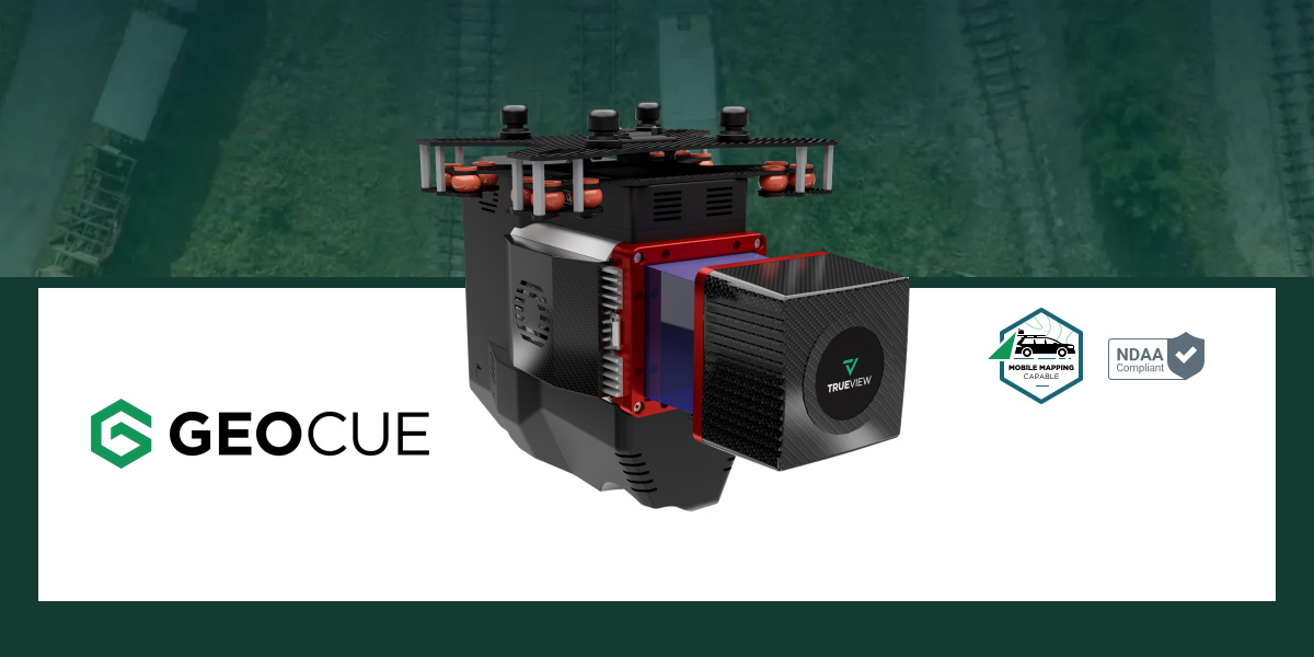
The latest case studies from GeoCue showcase how drone-mounted LiDAR sensors like the TrueView series are transforming workflows across surveying, engineering, mining, and construction.
Here’s what sets aerial LiDAR apart:
Aerial LiDAR systems allow you to scan steep slopes, dense tree canopies, river crossings, and industrial sites without setting foot on the ground.
Safer for crews
No need for shutdowns or special access
Ideal for remote or hazardous environments
Unlike photogrammetry, which struggles under tree cover, LiDAR cuts through foliage to capture true ground surfaces—crucial for terrain modeling, volume calculations, and design work.
See through dense canopy
Create clean digital terrain models (DTMs)
Improve design accuracy in forested areas
In multiple projects, crews using drone LiDAR completed full surveys in a single day—compared to weeks using traditional methods.
Rapid data collection
Streamlined processing with LP360 software
Faster delivery of contours, orthos, and models
In mining and industrial zones, stopping operations for a survey means lost revenue. Aerial LiDAR lets teams fly and scan without disrupting active work.
Keep operations running
Work around schedules
Reduce on-site exposure for personnel
Modern LiDAR sensors like the TrueView 515 or 655 produce high-density point clouds with the vertical and horizontal precision needed for engineering-grade deliverables—even in sloped or vertical terrain.
True ground elevations
Reliable break-lines and contours
Accurate volume and change calculations
AllTerra Central proudly partners with GeoCue to bring cutting-edge aerial LiDAR solutions—including TrueView sensors and LP360 software—to professionals across Texas and the Southwest.
With expert support from the AllTerra UAV TEAM, we help organizations:
✓ Choose the right sensor for the jobThe Best Performing LiDAR/Camera System in the Mid-Price Range
Third Generation RIEGL Integration with Triple Mapping Cameras
Both models deliver professional-grade aerial 3D LiDAR + Imagery capabilities.
Click here to view more models, options, or to learn more
Aerial LiDAR isn’t a niche solution anymore—it’s a practical, proven tool for real-world problems. Whether you're working in surveying, forestry, infrastructure, mining, or environmental management, the technology is ready. And so are we.
If your projects involve tough terrain, thick vegetation, or high-risk sites, aerial LiDAR could be the solution that saves you time, budget, and headaches.
📞 Connect with Chris Mauldin and the team at AllTerra Central to explore:
Purchase and rental options
Training packages
Workflow optimization strategies
📧 Email Chris
🌐 Visit AllTerraCentral.com

AllTerra Central. Your trusted LiDAR partner for the toughest jobs.
AllTerra Central: Transforming complex geospatial challenges into simple, powerful solutions.
1 min read
Imagine completing in minutes what once took hours, capturing spaces you never could before, and doing it all with a device that fits in your hand.
1 min read
Land surveyors are discovering that the biggest barrier to 3D scanning wasn't the technology—it was waiting for someone to actually make it easy...
1 min read
The traditional mindset of "ownership = success" is being challenged by forward-thinking survey firms discovering the strategic advantages of 3D...
1 min read
1 min read
3D scanning has rapidly evolved from a specialized technique into an essential part of modern surveying and engineering. Whether you’re capturing...
1 min read
Discover how the Trimble R980 with IBSS technology is breaking through traditional radio limitations, allowing surveyors to tackle projects of any...
1 min read
Tired of sacrificing accuracy for usability in GIS mapping? AllTerra Central and Trimble deliver professional-grade precision without the complexity...
1 min read
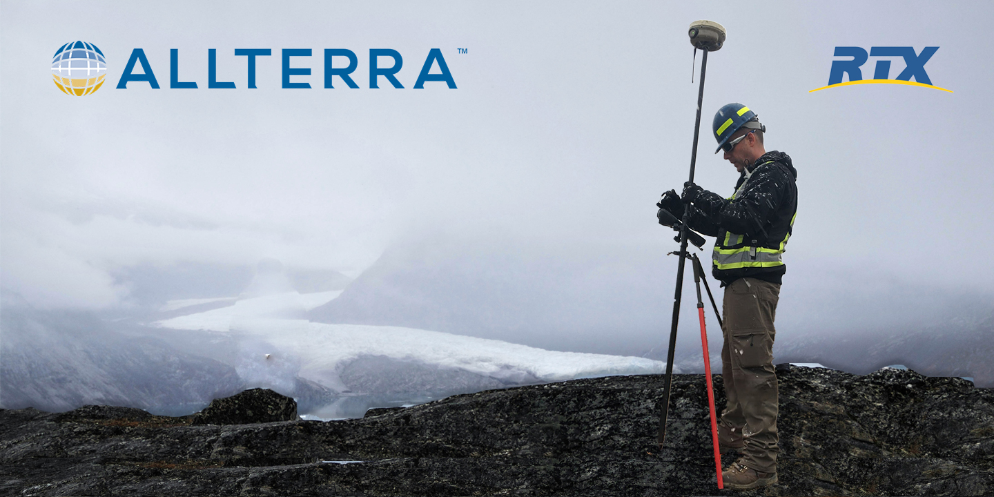
Every surveyor knows that sinking feeling—you're deep into a critical survey when your RTK connection drops. In these moments, RTX isn't just...

1 min read
Which Mapping and GIS (MGIS) Platform is right for you?