 Miguel Manning, MGIS Sales & Product Expert


1 min read
Mapping & GIS - Demo in a Box!
See the Power of Digital Mapping - Right Where You Work

Choosing MGIS hardware today goes far beyond just accuracy performance, form factor, and price. The right system becomes a force multiplier for your business. It can streamline field workflows, enhance decision-making, and position your organization for long-term growth.
But, on the flip side, the wrong system can quickly drain resources and waste valuable time.... which in turn wastes money. After enabling thousands of MGIS Customers across the Southwest, we’ve learned that success hinges on three critical factors: a Sensor-to-system Integration, Is it built to last?, and Understanding the Total Cost (not just the sticker price).
In this guide, we’ll break down each consideration so you can make your next platform decision with confidence. And if you need a partner along the way, AllTerra is ready to help navigate you to the right platform that fits your business. Contact us any time.
When choosing your next MGIS Field Platform, it isn’t just about what it can do on its own — it’s about how well it fits into your existing GIS ecosystem. Integration is what enables your data to move effortlessly between field teams, back-office systems, and decision-makers. Without it, even the most advanced platform can become an isolated tool that slows progress.


Your GIS doesn’t exist in a vacuum. To truly deliver value, it must connect seamlessly with every part of your technological ecosystem. From field data collection to enterprise reporting, real-time data integration can unlock AI-driven insights, improve decision-making, and move faster with confidence.
Hint: Most Pictures are linked to the product datasheet.
Just click the picture to learn more.

When choosing your next field data collection platform, software is often an underestimated piece of the equation. While new GNSS receivers typically get the spotlight for their sub-meter or centimeter accuracy—and come with the highest price tag…the truth is that level of precision is only as useful as the software capturing it. Data collection software plays an equally critical role. It ensures that positional accuracy is properly recorded, attributes are reliably captured, workflows are efficient, and data integrates cleanly back into your GIS or enterprise systems. In short, precision hardware is only half the equation…the other half is having the right software to make that accuracy matter.
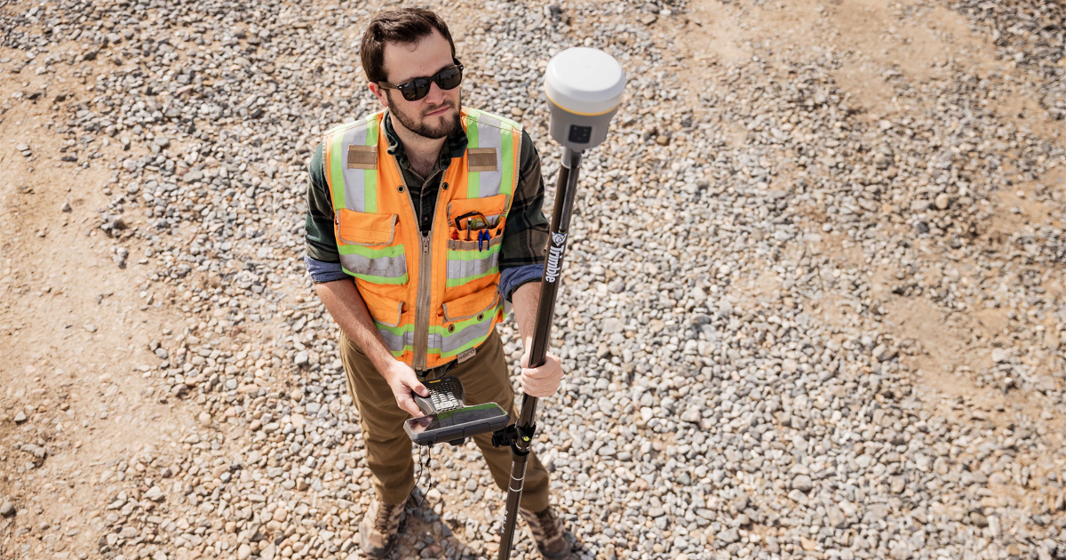
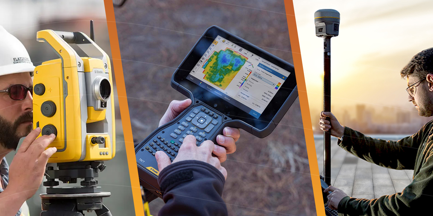
This is the component of the GIS platform that often draws the most attention when it comes to field operations—and rightfully so. Without reliable hardware, your spatial data wouldn’t have the accuracy or context needed to support effective mapping, which is the foundation of any GIS workflow.
When evaluating GIS mapping hardware, the number of available features can feel overwhelming. To help guide your decision, here are a few top factors worth prioritizing:

When one major Texas municipality trusted us with supplying them with a full Field to Office solution with robust integration capabilities, it reduced data processing time by 60% and eliminated duplicate entry errors entirely. The results saved staff hours every week and improved service delivery across departments.
Be cautious of platforms that rely on proprietary data formats or require expensive custom integrations to connect with your existing systems. These hidden limitations can create costly headaches down the road.
Consideration 2: Is it Built to Last?
Purchasing field equipment may seem like a frustrating way to spend money, but you must look at it as an investment in your organization’s future. As your projects grow in complexity and scope, your technology needs to keep pace without forcing you into costly upgrades or re-platforming. Scalability ensures your equipment remains an asset (rather than an obstacle), no matter how fast you expand, or the project requirements change.
The Best Platforms Scale with You
Adaptable gear lets you save on smaller, low-margin projects without sacrificing performance on larger, high-accuracy jobs. As your team grows or your needs evolve, scalable solutions keep pace—no costly disruptions or replacements. Overlooking this can lead to premature system overhauls, a mistake many teams make.
Physical and Technological
Real-World Scaling Example
It began with just three users and a simple goal: map smarter. One ambitious engineering firm chose the right tools from day one—built to scale, built for the future. In just three years, they grew to 25 users performing advanced spatial analysis. By year five, their platform seamlessly supported over 100 enterprise-wide, all without re-platforming or downtime. When you start with the right foundation, growth becomes effortless.
Consideration 3: Understanding the Total Cost
It’s easy to focus only on the upfront price when evaluating MGIS Hardware and Software. But the true cost of ownership extends far beyond the initial quote. Opting for lower-grade equipment may seem cost-effective at first, but it often leads to greater expenses over time. Reduced performance, limited capabilities, and reliability concerns can slow down operations, increase downtime, and require additional labor. The time lost managing these inefficiencies adds up quickly turning initial savings into hidden costs that ultimately hinder productivity and project success. Investing in high-quality solutions ensures you're saving both time and money in the long run.
When it comes to GNSS equipment, most people focus on the hardware—but the correction source you use is just as important, if not more. It’s the key to achieving the accuracy your work demands, and yet, it’s often overlooked during the buying process.
Many manufacturers promote lower prices, but what they don’t tell you is that those prices don’t include a correction source. To reach the accuracy they advertise, you’ll often need to purchase a separate RTK network subscription, something that can quickly add to your costs.
At AllTerra, we recommend RTK services for Trimble equipment as well—but here’s the difference: Trimble doesn’t limit you to just one method. While other systems rely solely on internet-based RTK (making them ineffective in remote areas), Trimble GNSS receivers can switch seamlessly to Trimble RTX, a satellite-based correction service that works anywhere in the world. The accuracy is remarkably close to RTK, and the flexibility is unmatched.
Not all correction sources are created equal—Trimble RTX is in a league of its own, delivering performance that’s lightyears ahead of typical correction services.
If you're investing in GNSS, make sure you're not just buying hardware—you're choosing a solution built for accuracy, reliability, and global performance.
Beyond the Sticker Price...
When investing in GNSS equipment, the upfront cost of the hardware is just one piece of the puzzle. There are several additional expenses that can impact your total cost of ownership:
The Bottom Line:
The right platform for your work and business creates measurable value over time. When chosen carefully, your system can pay for itself many times over. Productivity improvements help staff focus on higher-impact work, while fewer errors and faster decision-making keep projects moving. A modern, well-integrated platform also gives you a competitive edge in winning contracts and creates space for innovation that drives growth.
When you focus on the three critical considerations above, you set your team up for long-term success. The right platform becomes both a tool and a strategic advantage that drives productivity, innovation, and growth.
At AllTerra, we bring expertise you can trust. Our team has experience across all major MGIS solutions and offers unbiased recommendations to help you make the best choice for your unique needs. From integration planning to implementation, training, and ongoing support, we’re here to be your long-term partner at every stage.
Ready to find the GIS platform that will power your vision? Schedule a platform consultation.

1 min read
See the Power of Digital Mapping - Right Where You Work
1 min read
Tired of sacrificing accuracy for usability in GIS mapping? AllTerra Central and Trimble deliver professional-grade precision without the complexity...
1 min read
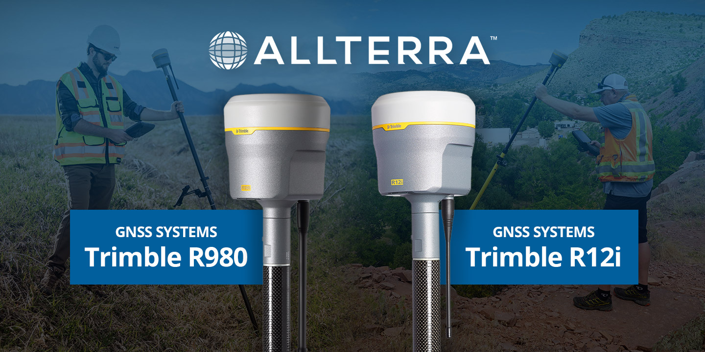
Discover how the Trimble R980 with IBSS technology is breaking through traditional radio limitations, allowing surveyors to tackle projects of any...
1 min read
Every surveyor knows that sinking feeling—you're deep into a critical survey when your RTK connection drops. In these moments, RTX isn't just...

1 min read
In ideal conditions, most GNSS systems perform just fine. But in the field, conditions are rarely ideal.
1 min read
Trimble GNSS receivers have long been the go-to for professionals who demand accuracy, speed, and reliability in the field. The Trimble R12i raised...

1 min read
1 min read
After years managing AllTerra Central's service department, I've seen just about everything that can go wrong with field equipment — and when it...
1 min read
Surveying in rugged terrain is never easy. Whether it’s steep banks, dense vegetation, active mines, or remote corridors, traditional surveying...