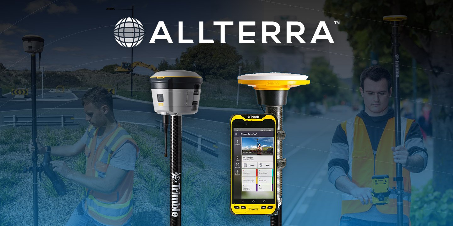
 AllTerra Central, Inc.
1 min read
Why Aerial LiDAR is the Go-To Solution for Challenging Terrain — Backed by Real Results.
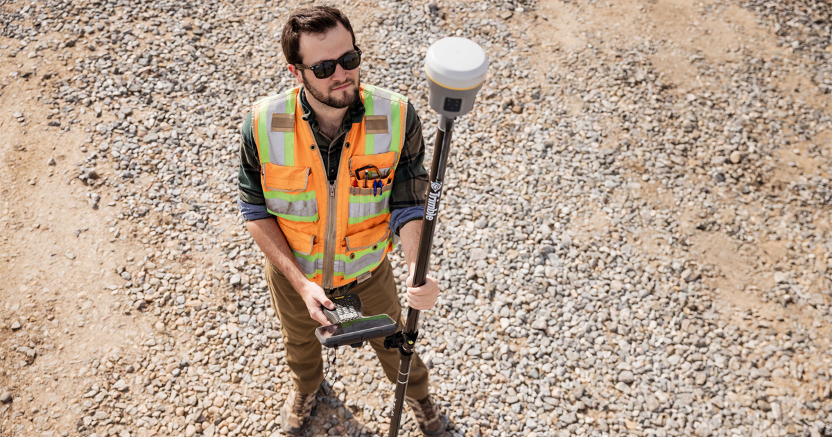
Surveying in rugged terrain is never easy. Whether it’s steep banks, dense vegetation, active mines, or remote corridors, traditional surveying...
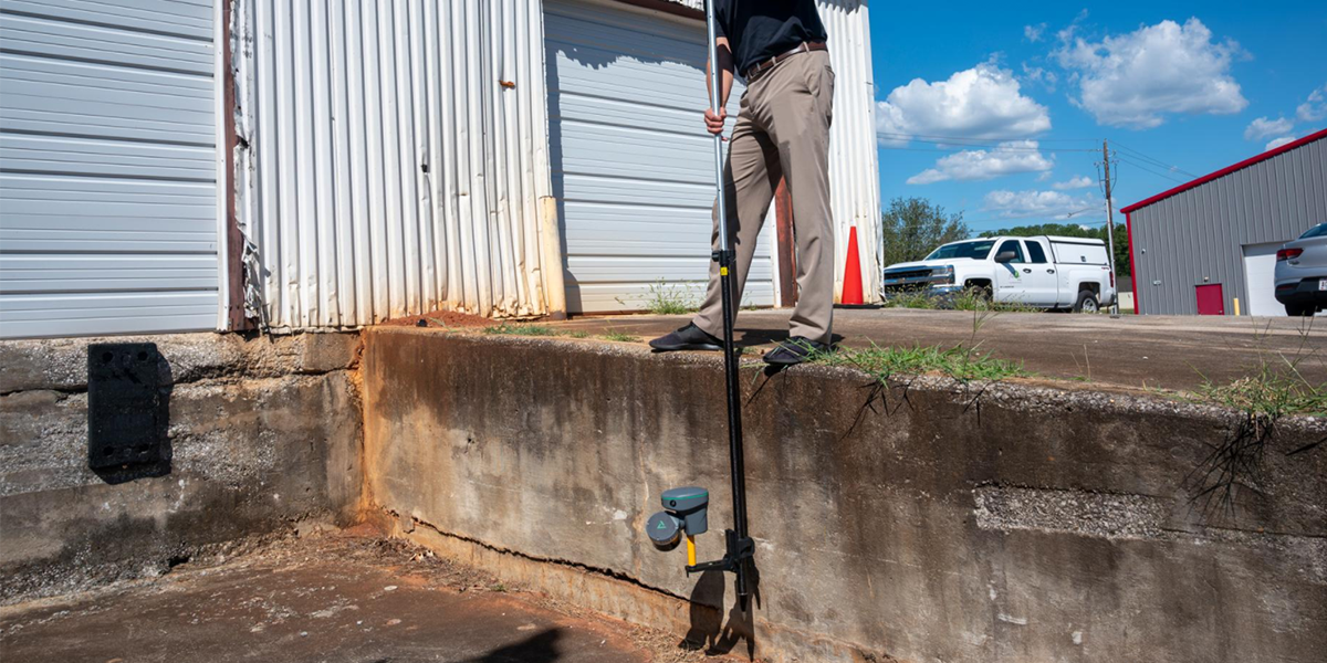
Imagine completing in minutes what once took hours, capturing spaces you never could before, and doing it all with a device that fits in your hand.
The TruViewGO handheld scanner series isn't just changing how professionals collect reality capture data—it's completely redefining what's possible in the field.

Reality capture technology has historically presented professionals with a frustrating choice: invest in bulky, complex equipment that delivers precision but hampers mobility, or sacrifice accuracy for portability.
That choice ends today.
The revolutionary TruViewGO handheld scanner series represents a paradigm shift in reality capture technology. By combining lightweight portability with professional-grade accuracy, TruViewGO eliminates the traditional compromises that have limited field professionals for decades.
If you've worked in surveying, engineering, or construction, you've likely experienced these pain points:
The TruViewGO series was designed specifically to eliminate these frustrations, replacing complexity with simplicity and constraints with freedom.
Speak with a product Expert
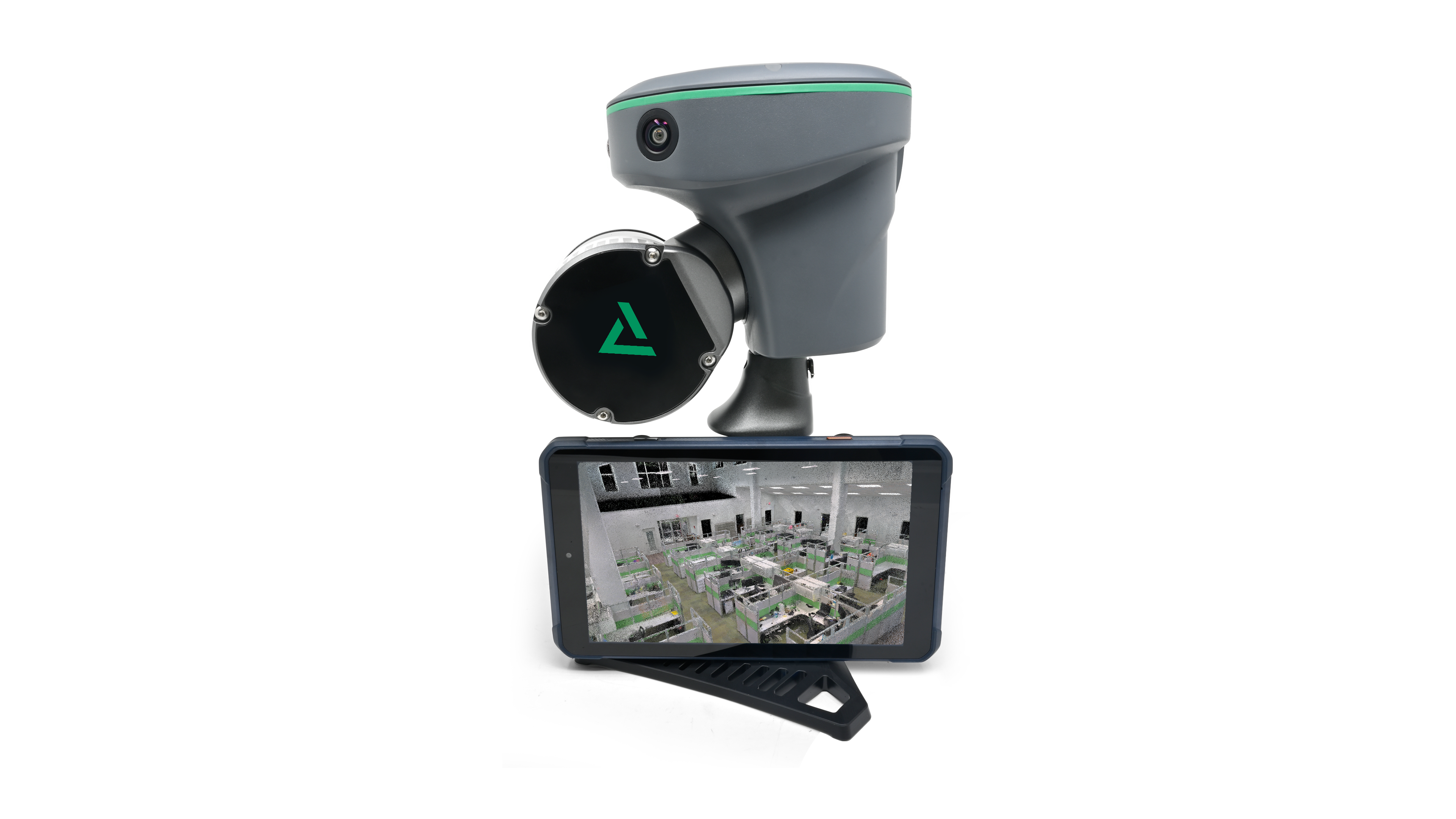

Both models deliver what was previously impossible: professional-grade scanning capability in a handheld form factor that can go anywhere you need to work.

The versatility of TruViewGO transforms how teams approach data collection across industries:
Quickly capture as-built conditions and verify against design models, streamlining decision-making and reducing costly errors.
Document existing conditions with unprecedented speed, capturing comprehensive data sets in a fraction of the time traditionally required.
Create detailed digital records of historic structures without risking damage from equipment setup or extended site presence.
Rapidly capture interior spaces for space planning, renovation projects, or digital twin creation without disrupting operations.
Efficiently document bridges, tunnels, and utilities with the mobility to access challenging areas traditional scanners can't reach.
Capture comprehensive data in mining and underground environments where space constraints and safety concerns make traditional scanning impractical.
TruViewGO doesn't exist in isolation. It's designed to integrate seamlessly with your existing workflows and systems:
The ability to capture comprehensive, accurate data quickly isn't just an advantage—it's essential. TruViewGO delivers:
Ready to revolutionize your mapping workflow? AllTerra Central is your trusted partner in implementing this game-changing technology:
AllTerra Central: Transforming complex geospatial challenges into simple, powerful solutions.
1 min read
Surveying in rugged terrain is never easy. Whether it’s steep banks, dense vegetation, active mines, or remote corridors, traditional surveying...
1 min read
Land surveyors are discovering that the biggest barrier to 3D scanning wasn't the technology—it was waiting for someone to actually make it easy...
1 min read
Tired of sacrificing accuracy for usability in GIS mapping? AllTerra Central and Trimble deliver professional-grade precision without the complexity...
1 min read
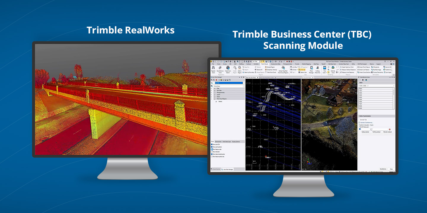
3D scanning has rapidly evolved from a specialized technique into an essential part of modern surveying and engineering. Whether you’re capturing...
1 min read
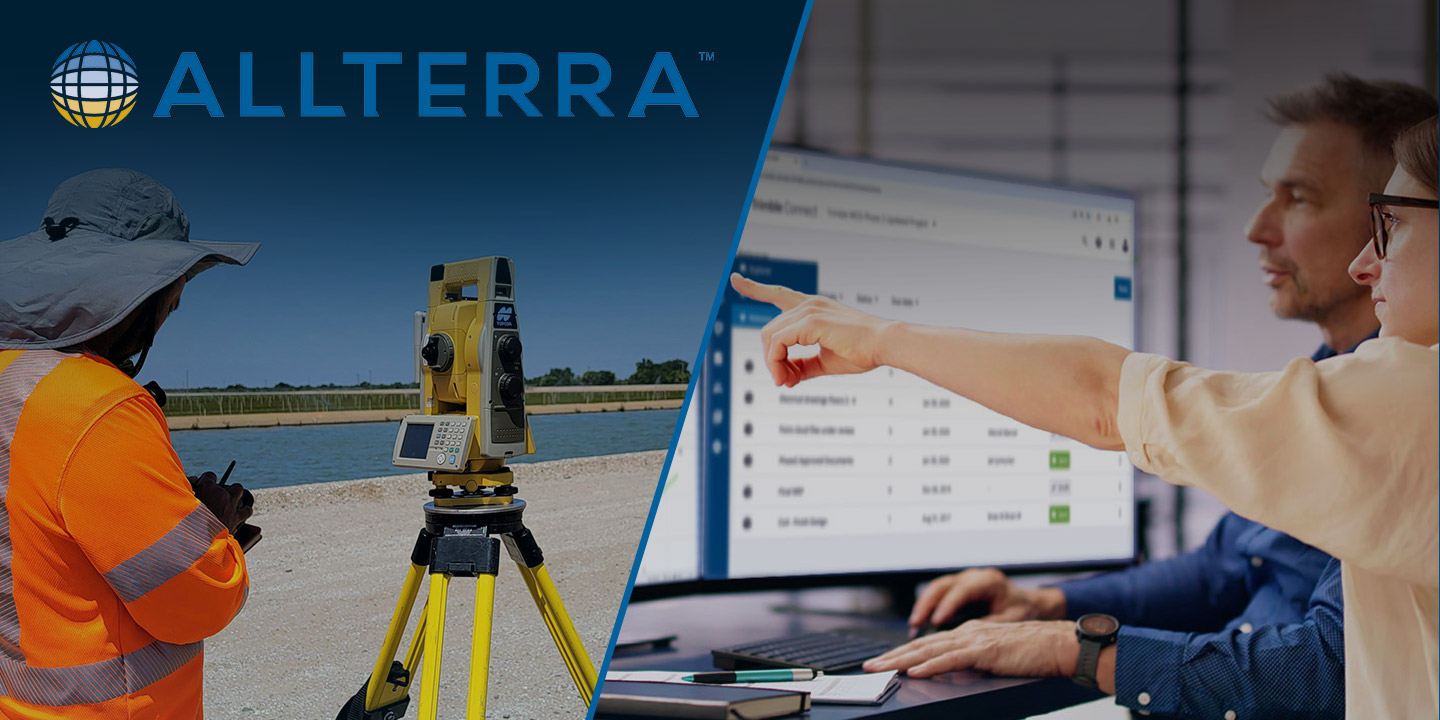
Trimble Connect eliminates costly workflow disconnects by creating a unified digital ecosystem where field and office teams collaborate seamlessly,...
1 min read
Which Mapping and GIS (MGIS) Platform is right for you?
1 min read
Discover how the Trimble R980 with IBSS technology is breaking through traditional radio limitations, allowing surveyors to tackle projects of any...
1 min read
Never Let Dead Zones Stop Your Progress Picture this: You’re three hours into a boundary survey on a 500-acre ranch property. Cell towers are nowhere...
1 min read
The traditional mindset of "ownership = success" is being challenged by forward-thinking survey firms discovering the strategic advantages of 3D...