 AllTerra Central, Inc.
1 min read
The Hidden Cost of Disconnected Workflows in 2025: How Surveyors Lose Time, Money, Sanity
In the geospatial industry, time is quite literally money. Every minute your crew spends battling data silos, transferring files manually, or...
After hosting a packed webinar on Trimble Connect, one thing became clear: surveying professionals are ready to move faster, work smarter, and connect their teams like never before.
At AllTerra Academy, we're here to ensure our customers can maximize the tools they use each day. That's why we've compiled this FAQ guide based on the real questions you asked during our Trimble Connect webinar series. From file syncing to folder permissions to integration tips, these are real-world roadblocks and opportunities that define digital workflow success.
Need help setting up Trimble Connect for your team?
Trimble Connect is the backbone of a smarter, faster, more connected workflow. And like any powerful tool, its value grows with the right training, support, and strategy.
Whether you're just exploring what Connect can do or looking to roll it out across your team, the best place to start is small: choose a pilot workflow, test it with your field and office crews, and build from there.
Need a customized plan for your team?

1 min read
In the geospatial industry, time is quite literally money. Every minute your crew spends battling data silos, transferring files manually, or...
1 min read
1 min read
Trimble Connect eliminates costly workflow disconnects by creating a unified digital ecosystem where field and office teams collaborate seamlessly,...
1 min read
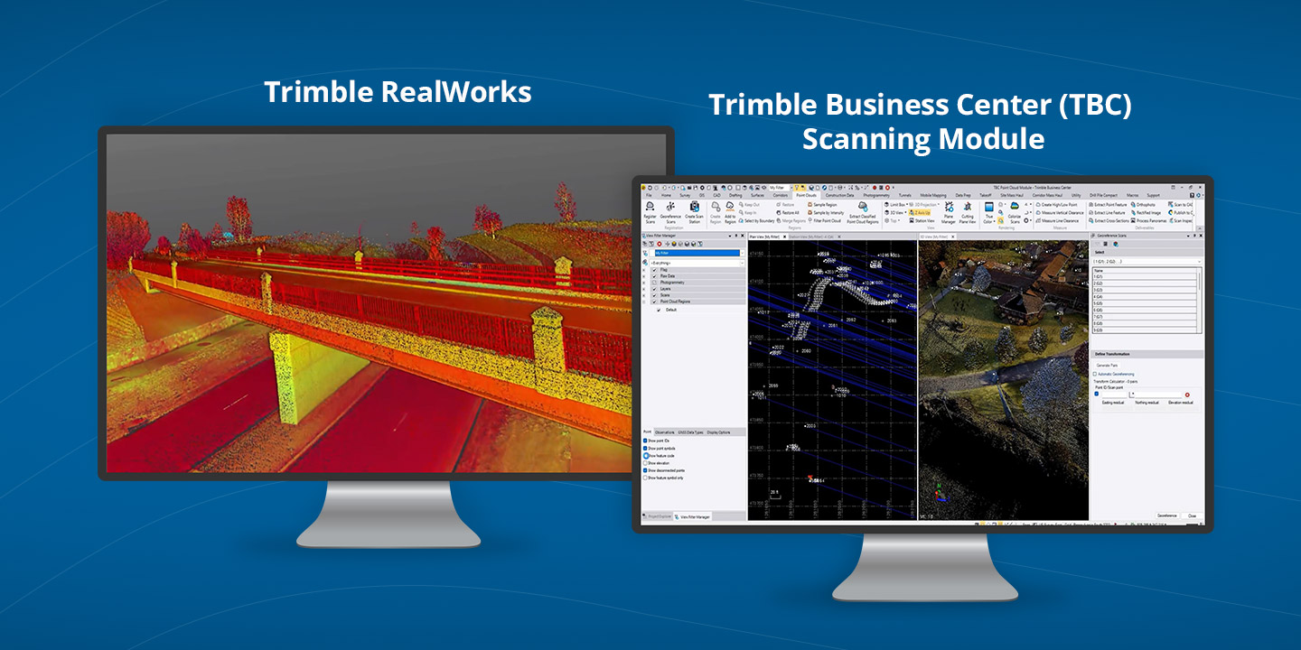
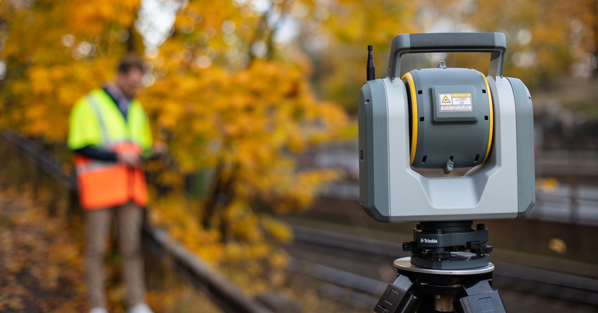
3D scanning has rapidly evolved from a specialized technique into an essential part of modern surveying and engineering. Whether you’re capturing...
1 min read
1 min read
See the Power of Digital Mapping - Right Where You Work
1 min read
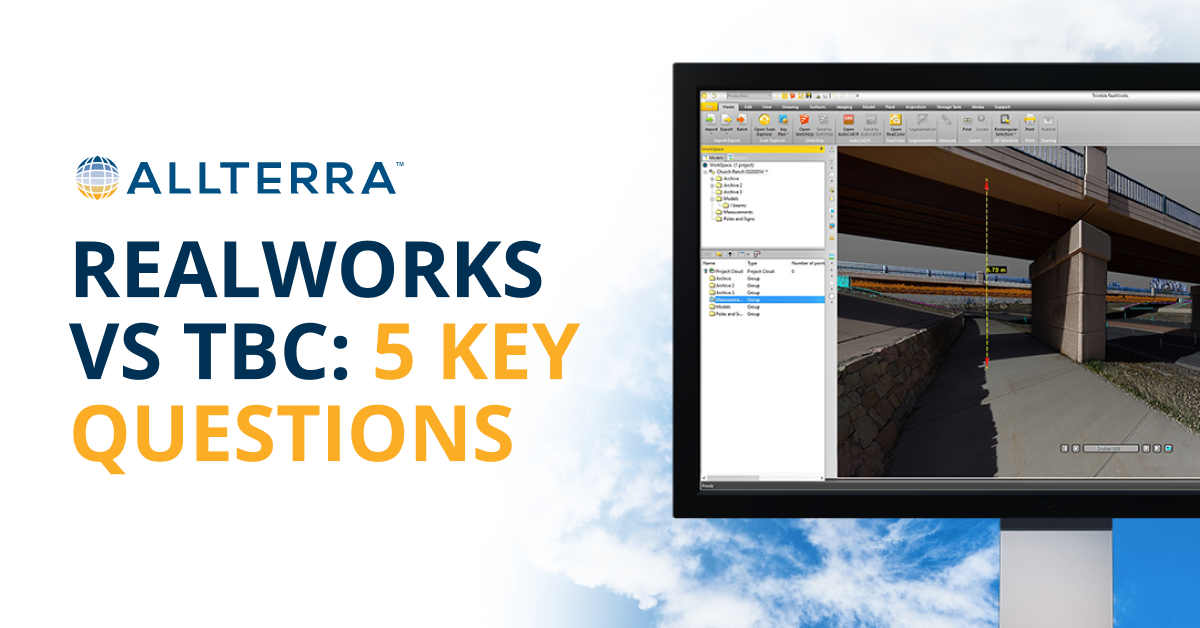
How to Decide (And Why Many Firms Use Both) Choosing the right platform doesn’t have to be an all-or-nothing decision. Start by thinking through a...
1 min read
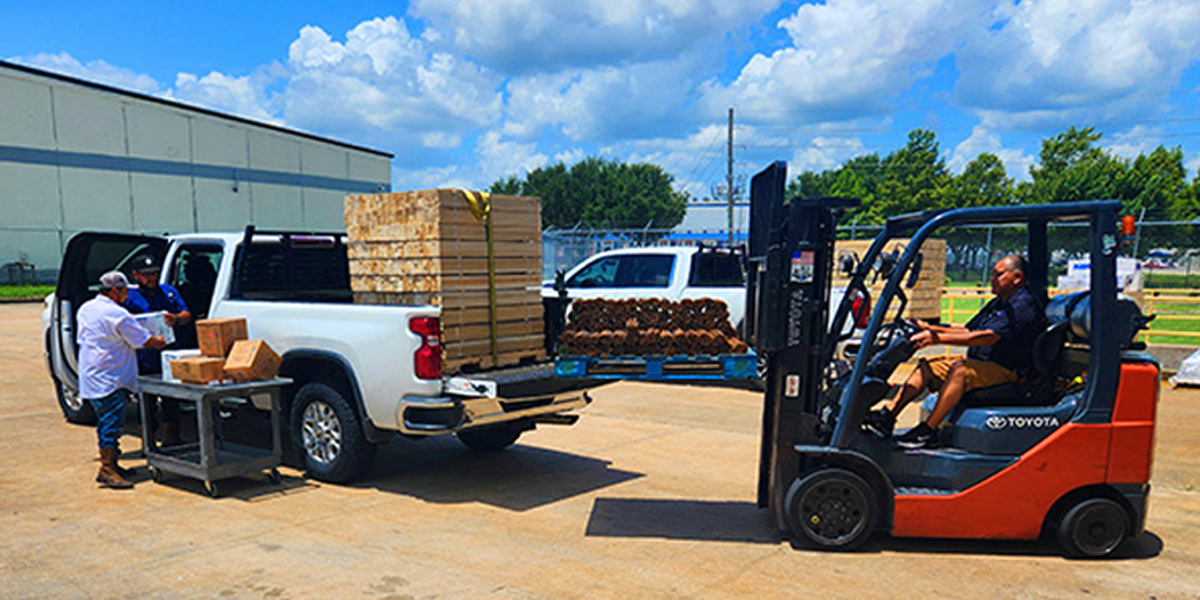
Downtime isn’t an option. That’s where AllTerra Central’s service department comes in. With thousands of repairs handled each year and decades of...
1 min read
The traditional mindset of "ownership = success" is being challenged by forward-thinking survey firms discovering the strategic advantages of 3D...