 AllTerra Central, Inc.
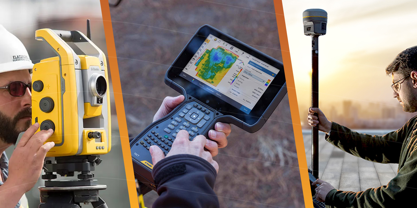
How R980 IBSS Users Are Crushing Projects Others Can't Even Touch
Discover how the Trimble R980 with IBSS technology is breaking through traditional radio limitations, allowing surveyors to tackle projects of any...
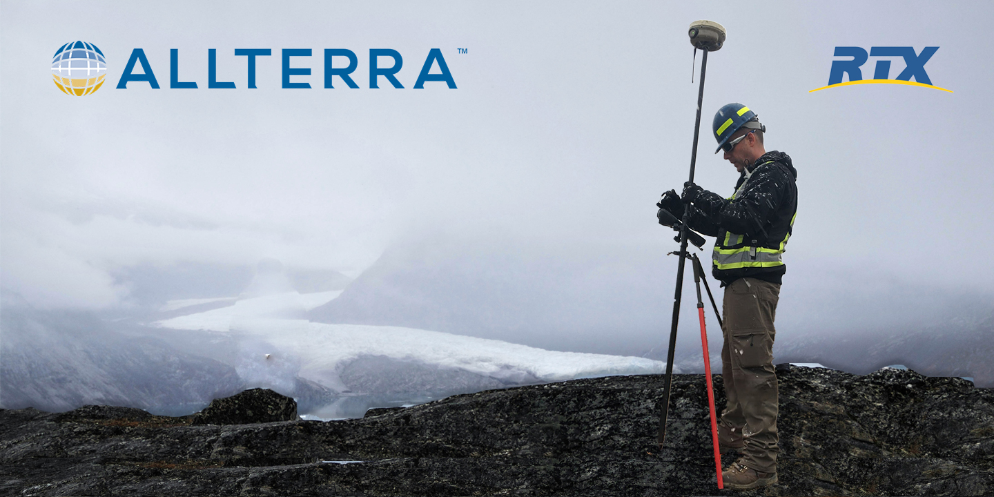
Every surveyor knows that sinking feeling—you're deep into a critical survey when your RTK connection drops. In these moments, RTX isn't just convenient—it's the difference between project success and expensive failure.
The base radio fails.
The cellular network disappears.
VRS goes offline.
Having CenterPoint RTX™ is the ultimate positioning insurance.


How RTX Delivers When Others Can't:
RTX leverages a global network of reference stations and redundant satellite delivery systems with advanced atmospheric modeling. Orbit and clock corrections integrate seamlessly with your existing RTK workflow.
Coverage & Performance:
Convergence times from 1-15 minutes with 99.9% service availability.
Try RTX for Free
Ready to protect your projects with RTX positioning insurance?
RTX comes built-in with new Trimble receivers at no additional cost for 12 months—giving you immediate access to centimeter-level accuracy anywhere your projects take you.
Activate RTX on Your Receiver Today →
Experience the AllTerra Central difference—where your success is our priority, backed by the industry's most comprehensive support network across Texas, New Mexico, Arizona, and Oklahoma.
Discover how the Trimble R980 with IBSS technology is breaking through traditional radio limitations, allowing surveyors to tackle projects of any...
Which Mapping and GIS (MGIS) Platform is right for you?
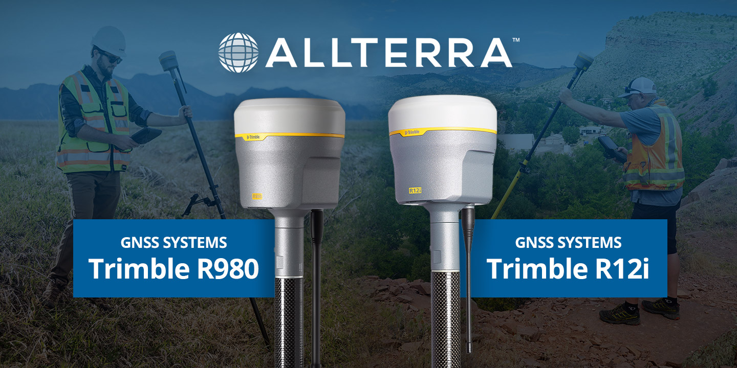
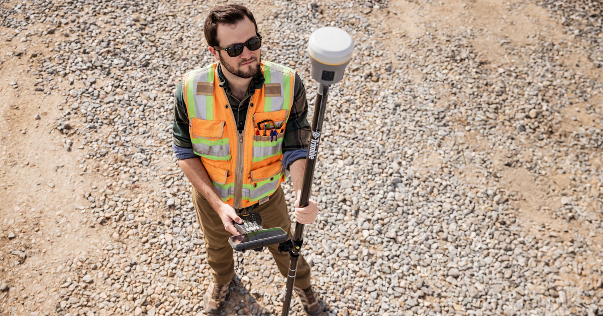
Trimble GNSS receivers have long been the go-to for professionals who demand accuracy, speed, and reliability in the field. The Trimble R12i raised...

In ideal conditions, most GNSS systems perform just fine. But in the field, conditions are rarely ideal.
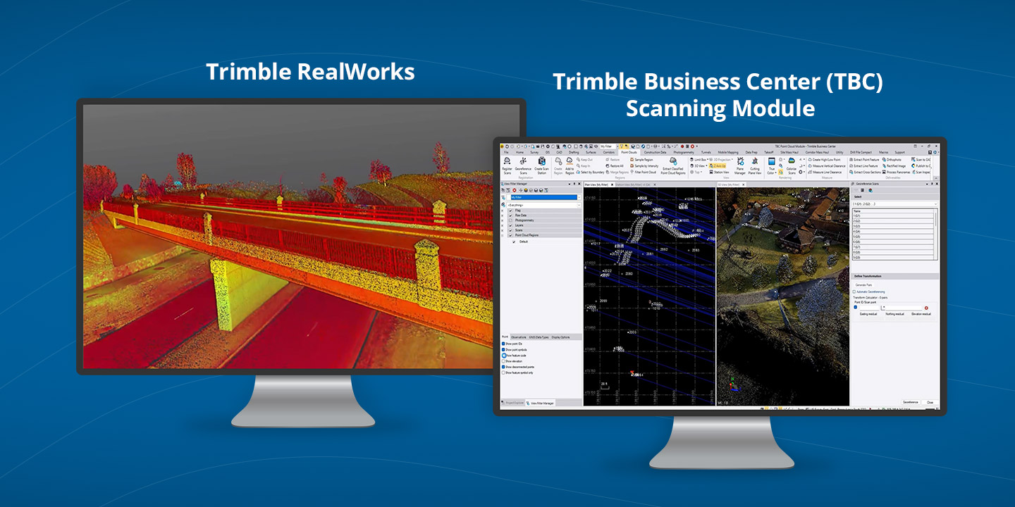
3D scanning has rapidly evolved from a specialized technique into an essential part of modern surveying and engineering. Whether you’re capturing...

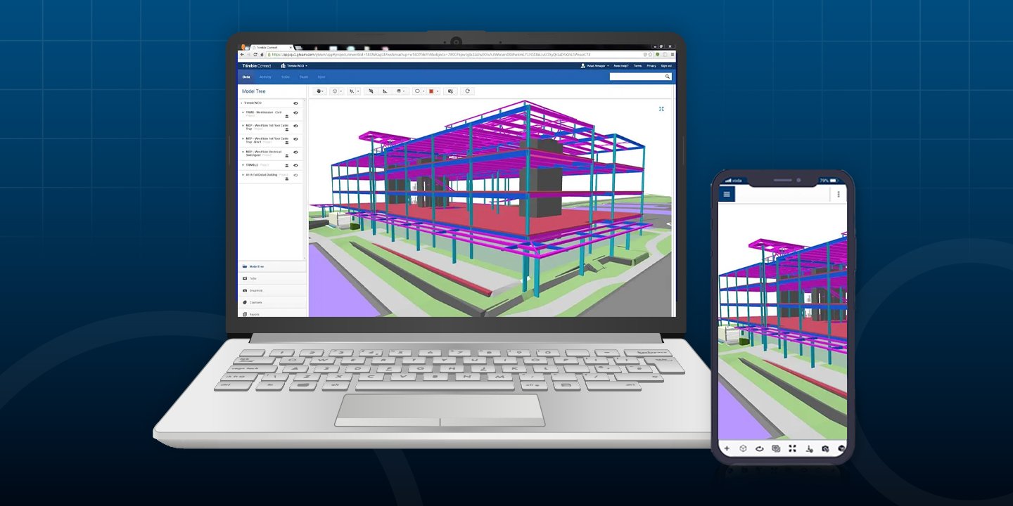
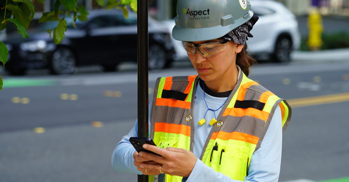
After hosting a packed webinar on Trimble Connect, one thing became clear: surveying professionals are ready to move faster, work smarter, and...
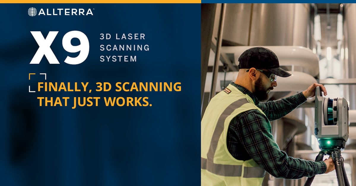
Land surveyors are discovering that the biggest barrier to 3D scanning wasn't the technology—it was waiting for someone to actually make it easy...
After years managing AllTerra Central's service department, I've seen just about everything that can go wrong with field equipment — and when it...