 AllTerra Central, Inc.
1 min read
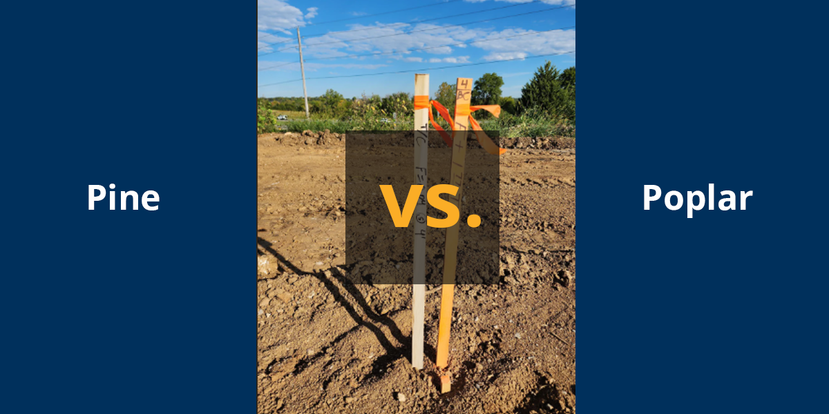
The Ultimate Guide to Survey Stakes: Poplar vs. Pine
You’re out on a job site in August. The sun’s already burning through your shirt at 9 a.m., and you’re driving stakes into lime-treated soil so hard...
.jpg)
"The laser level market is flooded with options, specifications, and confusing terminology. Single slope or dual slope? Grade laser or pipe laser? Red beam or green beam? These decisions significantly impact your productivity and project success. At AllTerra Central, we've simplified the selection process. As an authorized Spectra Precision dealer, we offer the complete range of professional-grade lasers—but more importantly, we understand which tool matches your specific needs. This guide cuts through the marketing noise to help you make an informed decision."
What They Do: Create a level reference plane for general construction and layout tasks

Best For:
Models:
Create a sloped plane in one direction (single-slope laser) or two directions (dual-slope lasers) for drainage and grading simultaneously.

Best For:
Key Features:
Models:
What They Do: Provide precise alignment for pipe installation

Best For:
Models:
Choosing the right laser doesn't have to be complicated....
By focusing on your primary applications and understanding the basic categories, you can select a laser that delivers immediate productivity gains. At AllTerra Central, we're here to ensure you get exactly what you need—nothing more, nothing less.
1 min read
You’re out on a job site in August. The sun’s already burning through your shirt at 9 a.m., and you’re driving stakes into lime-treated soil so hard...

1 min read
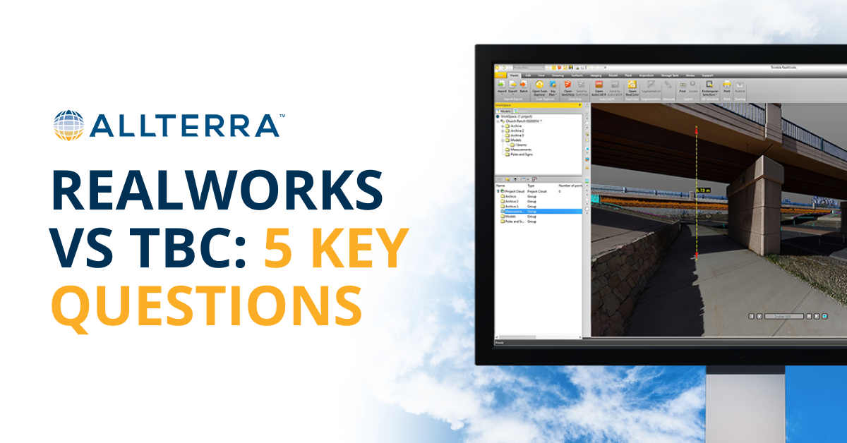
Land surveyors are discovering that the biggest barrier to 3D scanning wasn't the technology—it was waiting for someone to actually make it easy...
1 min read
How to Decide (And Why Many Firms Use Both) Choosing the right platform doesn’t have to be an all-or-nothing decision. Start by thinking through a...

1 min read
Which Mapping and GIS (MGIS) Platform is right for you?
1 min read
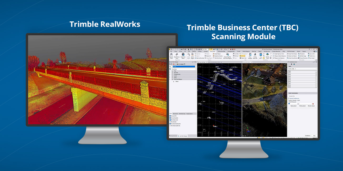
3D scanning has rapidly evolved from a specialized technique into an essential part of modern surveying and engineering. Whether you’re capturing...

1 min read
1 min read
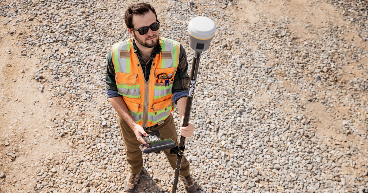
Discover how the Trimble R980 with IBSS technology is breaking through traditional radio limitations, allowing surveyors to tackle projects of any...
1 min read

1 min read
Even experienced teams can get tripped up when evaluating MGIS solutions. Before making a commitment, here's my guide on the three common mistakes...