 Zach Edwards, MAG
0% for 24mo on ALL New Trimble: Invest in Growth, Not Interest - Ends June 30th, 2025
Acquire the Trimble geospatial technology you've had your eyes on this June with 0% interest for 24 months, allowing you to immediately leverage...
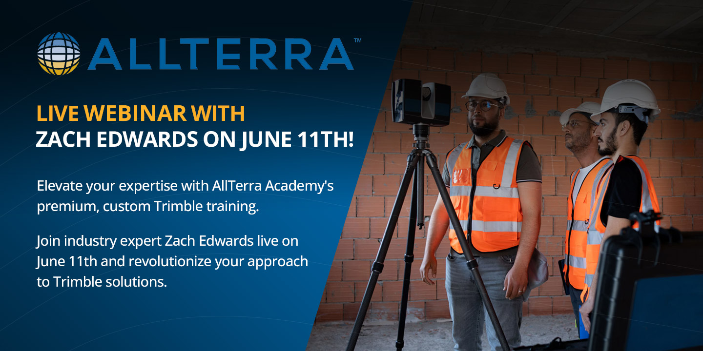
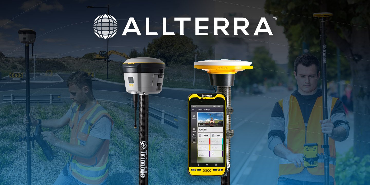
Join Zach Edwards, Certified MGIS Trainer at AllTerra Academy, for a comprehensive 1-hour virtual webinar that will transform how you visualize your Trimble Business Center data in the field with Trimble's SiteVision technology. This hands-on workshop will equip you with the practical skills needed to seamlessly integrate TBC projects with Trimble SiteVision's augmented reality capabilities.
Learn how to integrate Trimble SiteVision Technology with Trimble Business Center (TBC)
This is a no-charge, FREE webinar compliments of AllTerraAcademy™
Wednesday June, 11th, from 10:00-11:00am CDT (1hr)
Click the button below to register for the webinar, hosted by industry expert, Zach Edwards of AllTerra Academy.

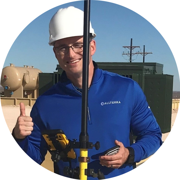
Zach Edwards, MAG (Masters of Applied Geography) is the USA's leading MGIS/UAS/Scanning Training & Support Lead at AllTerra Central, and is based in Albuquerque, NM. Zach has been with AllTerra Central for 5.5 years. He has 20 years’ experience as a GIS professional with 9 years of this being in field data collection solution sales, training, & support. Zach has a Bachelor of Arts in Geography from Bowling Green State University (2005) and a Master of Applied Geography from New Mexico State University (2008). He has a passion for surveying & geodesy with the intention to bridge the gap between Land Surveyors and GIS Professionals as it relates to education, understanding, and best practices. Lastly, Zach teaches GIS, Photogrammetry, and GNSS coursework in the Geographic Information Technology (GIT) program at the Southwestern Indian Polytechnic Institute (SIPI) in Albuquerque.
Questions? Ask Zach Edwards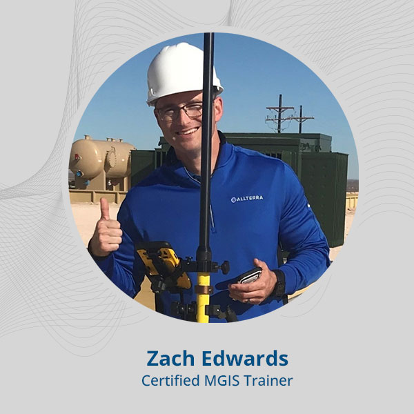
Spaces are limited to ensure personalized instruction. Register today to secure your spot in this transformative professional development opportunity.
Acquire the Trimble geospatial technology you've had your eyes on this June with 0% interest for 24 months, allowing you to immediately leverage...
Tired of sacrificing accuracy for usability in GIS mapping? AllTerra Central and Trimble deliver professional-grade precision without the complexity...
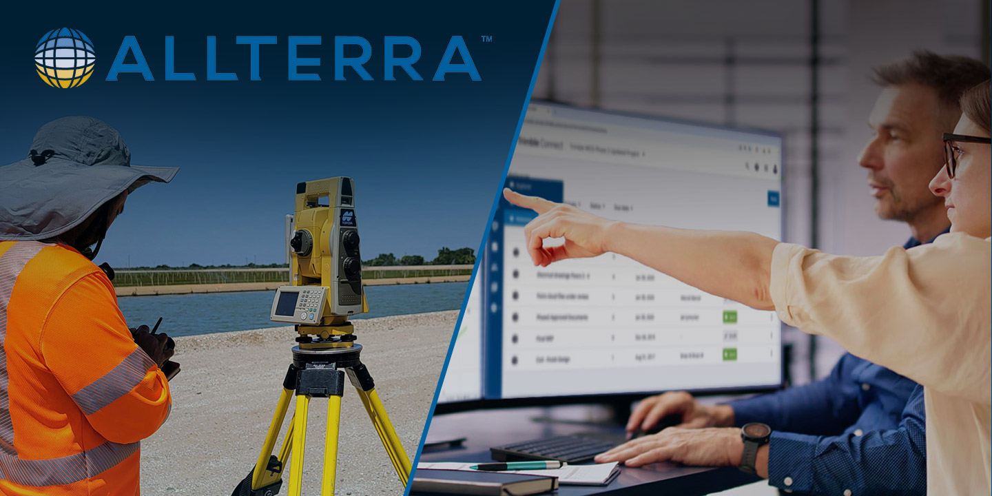
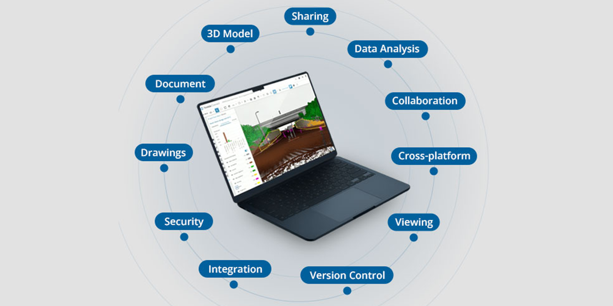
Trimble Connect eliminates costly workflow disconnects by creating a unified digital ecosystem where field and office teams collaborate seamlessly,...
Imagine completing in minutes what once took hours, capturing spaces you never could before, and doing it all with a device that fits in your hand.
In the geospatial industry, time is quite literally money. Every minute your crew spends battling data silos, transferring files manually, or...
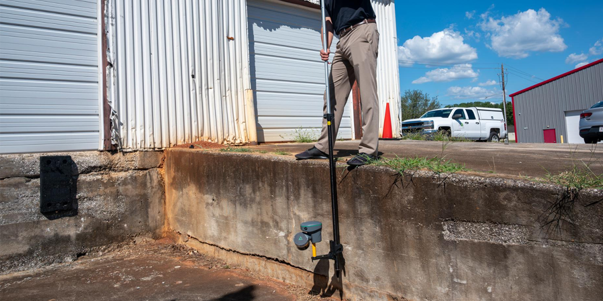
Discover how the Trimble R980 with IBSS technology is breaking through traditional radio limitations, allowing surveyors to tackle projects of any...
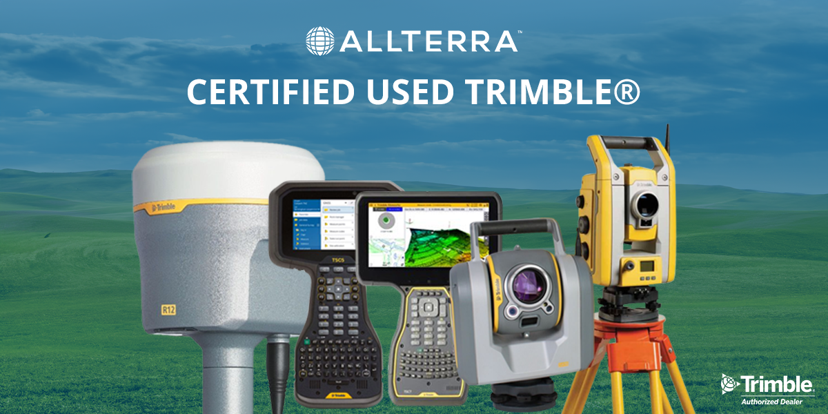
Don't make the same mistake as many surveying professionals: gamble with unreliable used gear that fails when they need it most. Here's how...


In ideal conditions, most GNSS systems perform just fine. But in the field, conditions are rarely ideal.