 AllTerra Central, Inc.
1 min read
Mapping & GIS - Demo in a Box!
See the Power of Digital Mapping - Right Where You Work
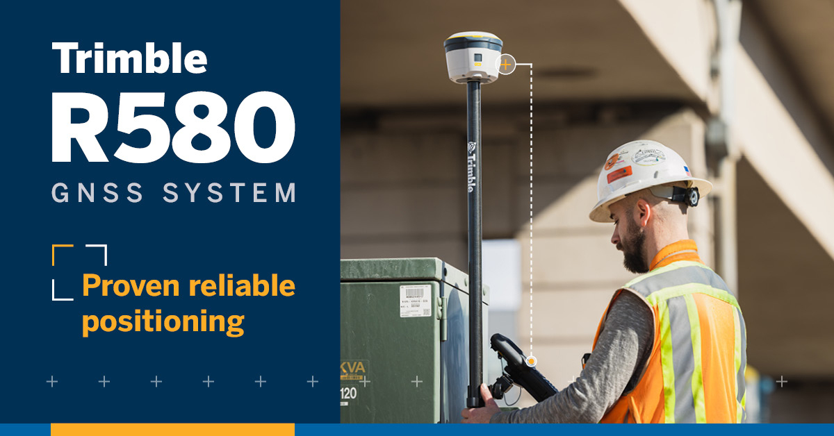
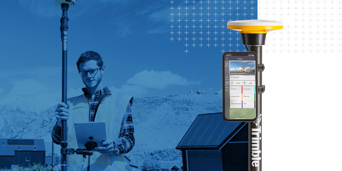
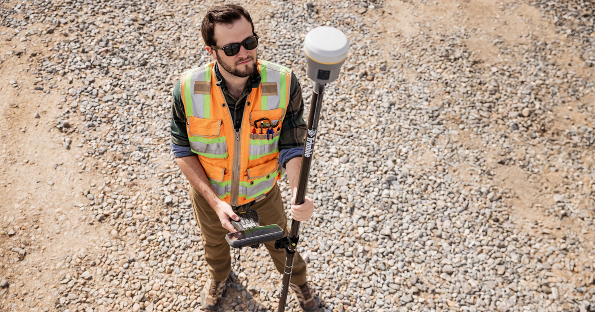
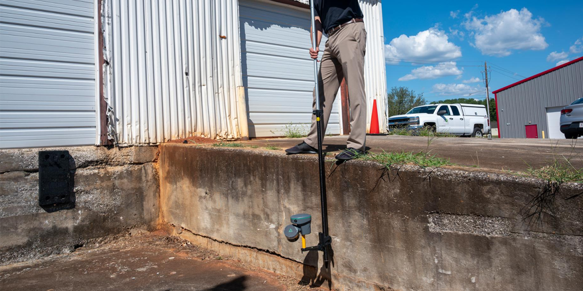
Tired of sacrificing accuracy for usability in GIS mapping? AllTerra Central and Trimble deliver professional-grade precision without the complexity through 2 perfectly balanced solutions—the integrated R580 and the subscription-based DA2/Catalyst—empowering you to capture reliable data in any environment without unnecessary features or overwhelming complexity.
As a GIS professional, you face a common frustration: there are too many options for high-precision mapping equipment, most of them overengineered, complicated to use, and requiring extensive training. Your team needs accurate data in challenging environments, but the complexity of traditional solutions leads to delays, additional training costs, and unreliable results.
What if there was a simpler way to achieve professional-grade precision?
At AllTerra Central, we've identified the ideal solution to the precision-versus-simplicity challenge. We offer two powerful options tailored to your specific mapping requirements—no unnecessary features, no overwhelming complexity.


"The R580's ability to maintain centimeter-level accuracy even under dense tree canopy has completely transformed our environmental mapping projects." — Environmental Resource Manager
"We've cut our hardware investment by 60% while improving data quality using the DA2 with our existing mobile devices." — Municipal GIS Coordinator

The R580 GNSS provides an excellent ROI for teams needing dedicated equipment, while the DA2/Catalyst subscription model prevents overinvestment in technology you don't use regularly, or for large expansive enterprise-level teams.
We understand that every mapping project has unique requirements. Our team of GIS experts work with you to determine which solution best fits your specific workflow, budget, and accuracy needs.
"AllTerra's team understood exactly what we needed. Their guidance saved us from purchasing more equipment than necessary while ensuring we achieved the accuracy our project demanded." — Enviromental Firm Project Manager, AZ
The choice between complexity and accuracy is outdated.
With the Trimble R580 and DA2/Catalyst, you can have professional-grade precision without the complexity.
AllTerra Central is your trusted partner for geospatial solutions across Texas, Oklahoma, Arizona, and New Mexico. Our expert team provides comprehensive support from initial consultation through training and ongoing service.
1 min read
See the Power of Digital Mapping - Right Where You Work

1 min read
Which Mapping and GIS (MGIS) Platform is right for you?
1 min read
Land surveyors are discovering that the biggest barrier to 3D scanning wasn't the technology—it was waiting for someone to actually make it easy...
1 min read
Surveying in rugged terrain is never easy. Whether it’s steep banks, dense vegetation, active mines, or remote corridors, traditional surveying...
1 min read
Discover how the Trimble R980 with IBSS technology is breaking through traditional radio limitations, allowing surveyors to tackle projects of any...
1 min read
Imagine completing in minutes what once took hours, capturing spaces you never could before, and doing it all with a device that fits in your hand.

1 min read
In ideal conditions, most GNSS systems perform just fine. But in the field, conditions are rarely ideal.
1 min read
After years managing AllTerra Central's service department, I've seen just about everything that can go wrong with field equipment — and when it...
1 min read
3D scanning has rapidly evolved from a specialized technique into an essential part of modern surveying and engineering. Whether you’re capturing...