July 23, 2025 | Free Webinar

Transform Your Field-to-Office Workflow
with Trimble Connect

Master the connected workflow that's revolutionizing how survey teams
collaborate, share data, and deliver results faster than ever before.

Date & Time

Wednesday, July 23rd, 2025

10:00AM -11:00AM CDT

Format

1-Hour Live, Virtual Webinar

via interactive GoToWebinar

$0.00

FREE for ALL

($299 Value)

Who Should Attend?

life_mentoring
Survey Managers

Looking to streamline operations & reduce data processing bottlenecks

life_mentoring
Field Crews

Who want to spend more time surveying and less time managing files

life_mentoring
Office Technicians

Seeking to eliminate manual data transfers and version control issues

life_mentoring
Business Owners

Focused on improving efficiencies, client satisfaction, and profitability 
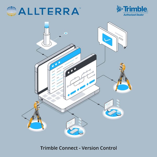
Master the Trimble Connected Workflow

trimble connect hero banner.png

Data stuck in the past?

Data "Silos"

Manual File Transfers

Limited Visibility

Workflow Bottlenecks

Step into the future.

Seamless Data-Sync

Real-Time Collaboration

3D Visualization Mastery

Workflow Optimization


Ready to Transform your Survey Workflow?

Join the experts of AllTerra Academy™

Stop losing time to disconnected data.

View the agenda below

"Trimble Connect has reduced our data processing time by about a third and virtually eliminated version control issues. Our crews now spend more time collecting data and less time managing it..."
K. Hindall
Survey Manager | Texas

Detailed Webinar Agenda

connect_blog_billy-musick_Featured-img
Trimble Connect Overview
  • Discover the full potential and benefits for survey workflows
  • Understanding licensing options and what's included with your subscriptions
  • Create your first project with confidence
  • Master folder structure best practices for survey data organization
  • Learn which file formats work best for your workflows
allterra-blog-trimble-connect-square1

Cloud Management Mastery

  • Set up users and groups for your survey teams
  • Configure permissions to protect sensitive project data
  • Utilize tags for easy project organization and searching
  • Track project changes with the activity log
  • Explore powerful extensions to enhance functionality
Trimble connect featured image-1

Cloud-to-Field/Field-to-Cloud Workflows

  • Download design data seamlessly to field devices
  • Master the upload process for completed survey data
  • Configure cloud settings for optimal performance
  • Manage field updates and synchronization strategies
Trimble connect graphic (2)

Cloud to TBC Integration

  • Set up your job directory for streamlined workflows
  • Import field data directly without manual downloads
  • Best practices for TBC integration
image_Q-A

Live Q&A Session

  • Get your specific questions answered
  • Troubleshoot your unique workflow challenges
  • Learn from other participants' questions

Darian Miera

Senior Geospatial/MGIS Technical Advisor

Darian Miera serves as a Senior Geospatial/MGIS Technical Advisor at AllTerra Central, bringing advanced expertise in geographic information systems and spatial analysis to our technical team. Based in Grapevine, Texas, Darian combines strong academic credentials with practical industry experience to support our clients' geospatial technology needs.

She holds a Master's degree in Geographic Information Science and Cartography from Penn State University (2022-2023), where she specialized in geospatial programming and web map development. Her technical skillset encompasses advanced GIS applications including ArcGIS products, Python programming, spatial databases, and various geospatial software platforms. Darian also earned a Bachelor of Arts in International/Global Studies from The University of Texas at San Antonio, with a geography/GIS minor and experience as a Model UN officer.

At AllTerra Central, Darian plays a crucial role in delivering premier MGIS technical support and developing innovative solutions for our surveying and geospatial professional clients. Her combination of technical expertise and educational background positions her to bridge complex geospatial challenges with practical, client-focused solutions that drive productivity and accuracy in the field.